 |
|
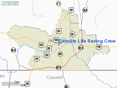
Danville Life Saving Crew Heliport |
Location & QuickFacts
| FAA Information Effective: | 2008-09-25 |
| Airport Identifier: | 3VA9 |
| Airport Status: | Operational |
| Longitude/Latitude: | 079-24-33.0830W/36-35-08.4980N
-79.409190/36.585694 (Estimated) |
| Elevation: | 520 ft / 158.50 m (Estimated) |
| Land: | 0 acres |
| From nearest city: | 0 nautical miles N of Danville, VA |
| Location: | Pittsylvania County, VA |
| Magnetic Variation: | 07W (1990) |
Owner & Manager
| Ownership: | Privately owned |
| Owner: | Danville Life Saving Crew |
| Address: | 202 Christopher Lane
Danville, VA 24541 |
| Phone number: | 804-792-2739 |
| Manager: | Captain Gary Ryan |
| Address: | 202 Christopher Lane
Danville, VA 24541 |
| Phone number: | 804-792-2739 |
Airport Operations and Facilities
| Airport Use: | Private
MEDICAL USE. |
| Segmented Circle: | No |
| Control Tower: | No |
| Lighting Schedule: | PHONE REQ
FOR PERIMETER LGTS CALL 804-792-2739. |
| Sectional chart: | Washington |
| Region: | AEA - Eastern |
| Boundary ARTCC: | ZDC - Washington |
| Tie-in FSS: | DCA - Leesburg |
| FSS Toll Free: | 1-800-WX-BRIEF |
Runway Information
Helipad H1
| Dimension: | 60 x 60 ft / 18.3 x 18.3 m |
| Surface: | TURF, |
| |
Runway H1 |
Runway |
| Traffic Pattern: | Left | Left |
|
Radio Navigation Aids
| ID |
Type |
Name |
Ch |
Freq |
Var |
Dist |
| OQA | FAN MARKER | Rockingham County | | | | 22.5 nm |
| SIF | NDB | Slammer | | 423.00 | 07W | 21.0 nm |
| UV | NDB | Bales | | 396.00 | 07W | 24.5 nm |
| HUR | NDB | Person | | 220.00 | 08W | 26.9 nm |
| HB | NDB | Himun | | 361.00 | 08W | 37.5 nm |
| LY | NDB | Bojar | | 385.00 | 08W | 41.5 nm |
| HXO | NDB | Huntsboro | | 271.00 | 07W | 41.9 nm |
| VIT | NDB | Vinton | | 277.00 | 06W | 43.6 nm |
| TOX | NDB | Siler City | | 371.00 | 07W | 49.6 nm |
| DAN | VOR | Danville | | 113.10 | 06W | 3.6 nm |
| SBV | VORTAC | South Boston | 041X | 110.40 | 05W | 19.8 nm |
| LYH | VORTAC | Lynchburg | 029X | 109.20 | 05W | 41.1 nm |
| GSO | VORTAC | Greensboro | 109X | 116.20 | 03W | 42.5 nm |
| LIB | VORTAC | Liberty | 077X | 113.00 | 03W | 47.6 nm |
Remarks
Images and information placed above are from
http://www.airport-data.com/airport/3VA9/
We thank them for the data!
| General Info
|
| Country |
United States
|
| State |
VIRGINIA
|
| FAA ID |
3VA9
|
| Latitude |
36-35-08.498N
|
| Longitude |
079-24-33.083W
|
| Elevation |
520 feet
|
| Near City |
DANVILLE
|
We don't guarantee the information is fresh and accurate. The data may
be wrong or outdated.
For more up-to-date information please refer to other sources.
|
|


