 |
|
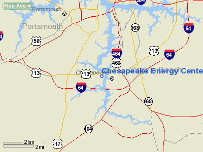
Chesapeake Energy Center Heliport |
Location & QuickFacts
| FAA Information Effective: | 2008-09-25 |
| Airport Identifier: | VG03 |
| Airport Status: | Operational |
| Longitude/Latitude: | 076-18-05.7860W/36-46-14.5340N
-76.301607/36.770704 (Estimated) |
| Elevation: | 12 ft / 3.66 m (Estimated) |
| Land: | 0 acres |
| From nearest city: | 3 nautical miles SW of Chesapeake, VA |
| Location: | Chesapeake County, VA |
| Magnetic Variation: | 10W (1995) |
Owner & Manager
| Ownership: | Privately owned |
| Owner: | Virginia Power
CHESAPEAKE ENERGY CENTER. |
| Address: | 2701 Vepco Street
Chesapeake, VA 23323 |
| Phone number: | 804-485-6800 |
| Manager: | Dave A. Craymer |
| Address: | 2701 Vepco Street
Chesapeake, VA 23323 |
| Phone number: | 804-485-6800 |
Airport Operations and Facilities
| Airport Use: | Private |
| Wind indicator: | Yes |
| Segmented Circle: | No |
| Control Tower: | No |
| Sectional chart: | Washington |
| Region: | AEA - Eastern |
| Boundary ARTCC: | ZDC - Washington |
| Tie-in FSS: | DCA - Leesburg |
| FSS on Airport: | No |
| FSS Toll Free: | 1-800-WX-BRIEF |
Runway Information
Helipad H1
| Dimension: | 50 x 45 ft / 15.2 x 13.7 m |
| Surface: | CONC, |
| |
Runway H1 |
Runway |
| Traffic Pattern: | Left | Left |
|
Radio Navigation Aids
| ID |
Type |
Name |
Ch |
Freq |
Var |
Dist |
| PVG | NDB | Portsmouth | | 241.00 | 10W | 7.0 nm |
| EY | NDB | Chesi | | 233.00 | 09W | 11.0 nm |
| RK | NDB | Waley | | 249.00 | 10W | 19.7 nm |
| PJS | NDB | Henry | | 375.00 | 09W | 23.6 nm |
| FAF | NDB | Felker | | 226.00 | 08W | 26.9 nm |
| LLW | NDB | Woodville | | 254.00 | 10W | 30.5 nm |
| AKQ | NDB | Wakefield | | 274.00 | 09W | 36.0 nm |
| EDE | NDB | Edenton | | 265.00 | 10W | 46.6 nm |
| NGU | TACAN | Chambers | 048X | | 10W | 10.2 nm |
| NTU | TACAN | Oceana | 113X | | 10W | 13.1 nm |
| LFI | TACAN | Langley | 070X | | 10W | 19.1 nm |
| ECG | VOR/DME | Elizabeth City | 072X | 112.50 | 07W | 31.4 nm |
| ORF | VORTAC | Norfolk | 116X | 116.90 | 07W | 8.8 nm |
| FKN | VORTAC | Franklin | 043X | 110.60 | 09W | 34.4 nm |
| CVI | VORTAC | Cofield | 093X | 114.60 | 09W | 36.5 nm |
| CCV | VORTAC | Cape Charles | 059X | 112.20 | 10W | 37.6 nm |
| HCM | VORTAC | Harcum | 025X | 108.80 | 07W | 45.2 nm |
Remarks
- SEE AIRSPACE LETTER DATED OCT 21, 1995.
Images and information placed above are from
http://www.airport-data.com/airport/VG03/
We thank them for the data!
| General Info
|
| Country |
United States
|
| State |
VIRGINIA
|
| FAA ID |
VG03
|
| Latitude |
36-46-14.534N
|
| Longitude |
076-18-05.786W
|
| Elevation |
12 feet
|
| Near City |
CHESAPEAKE
|
We don't guarantee the information is fresh and accurate. The data may
be wrong or outdated.
For more up-to-date information please refer to other sources.
|
|


