|
|
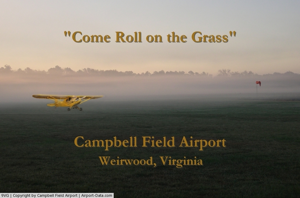
| Campbell Field Airport |
 |
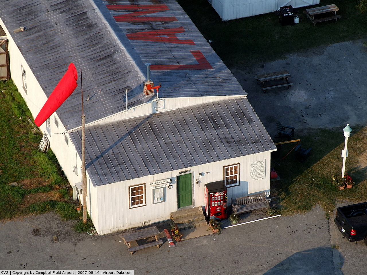
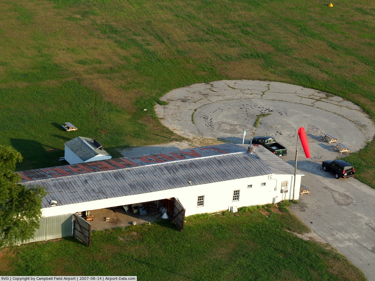
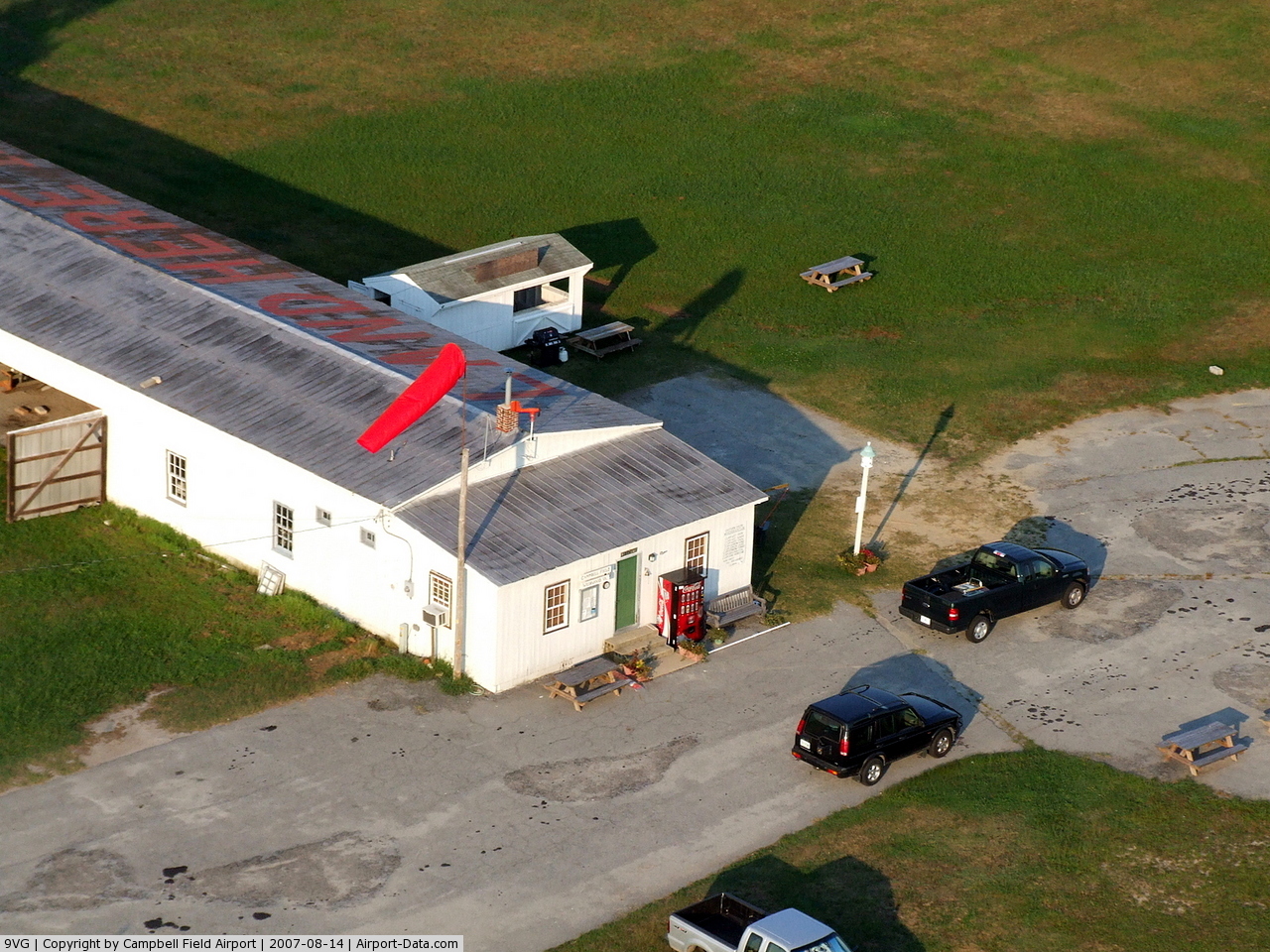
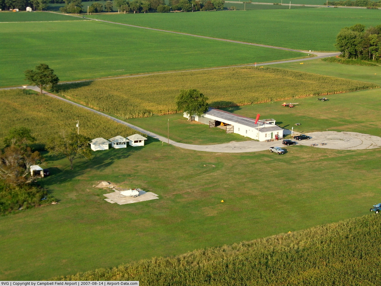
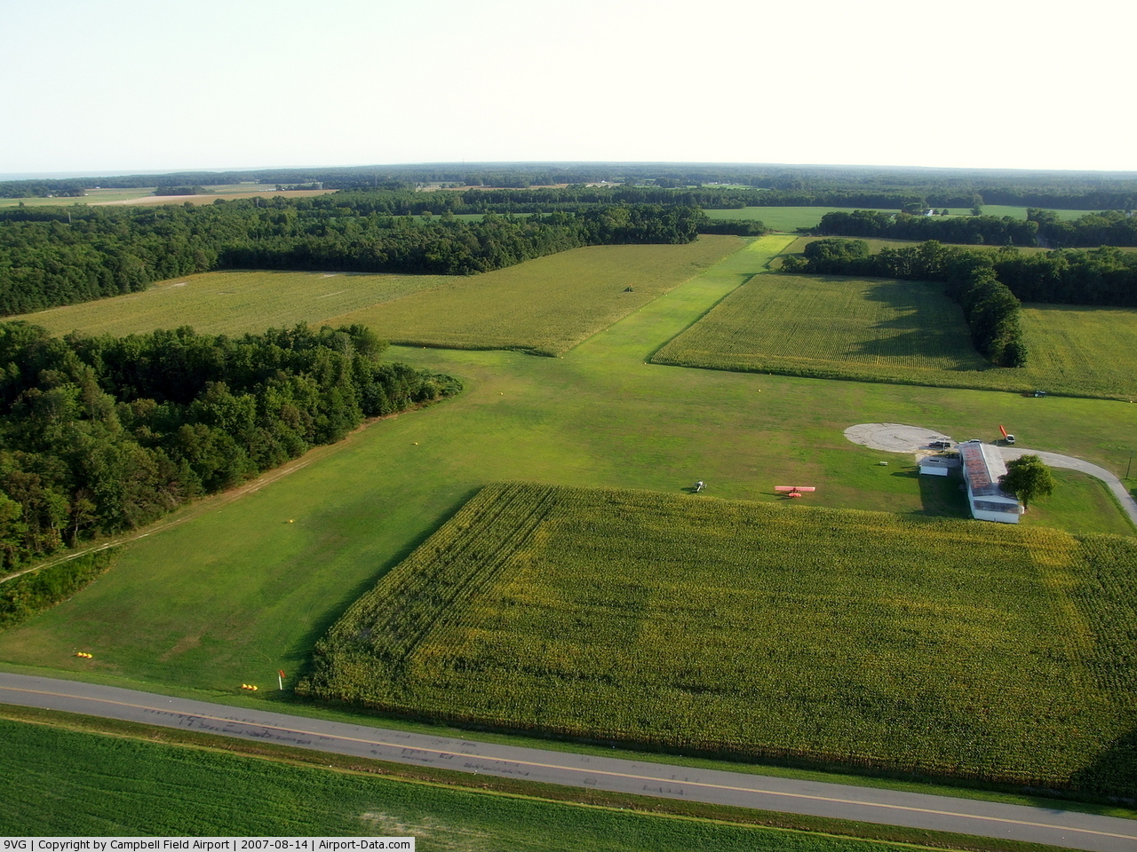
| Aerial view of Campbell Field Airport (9VG) |
| IATA: none – ICAO: none – FAA LID: 9VG |
| Summary |
| Owner/Operator |
Campbell Field, Inc. |
| Serves |
Eastern Shore of Virginia |
| Location |
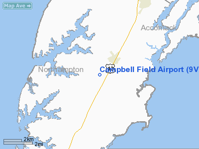
Weirwood, Virginia |
| Elevation AMSL |
40 ft / 12 m |
| Coordinates |
37°27′30″N 075°52′44″W / 37.45833°N 75.87889°W / 37.45833; -75.87889 |
| Website |
www.campbellfieldairport.com |
| Runways |
| Direction |
Length |
Surface |
| ft |
m |
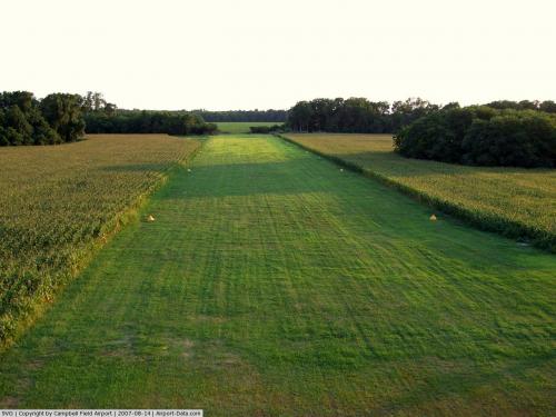
| 3/21 |
3,000 |
914 |
Turf |
| 14/32 |
1,455 |
443 |
Turf |
Campbell Field Airport (FAA LID: 9VG) is a public use general aviation airport located in the Weirwood, Virginia, United States hamlet on public highway route 617.
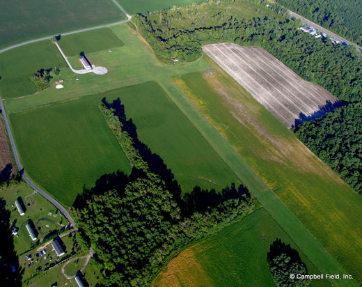
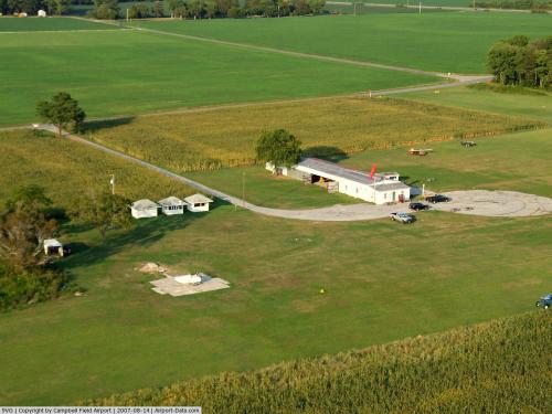
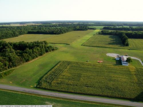
The airport serves the aviation community on Virginia's Eastern Shore. The airport covers 147 acres (59 ha) and has two turf runways.
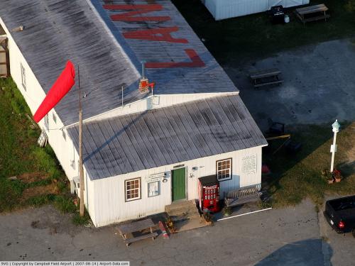
The airport is open during daylight hours and nighttime operations are prohibited (military operations excluded). Available to transient pilots are aircraft tie-downs, a public restroom, and a courtesy vehicle.
Although most U.S. airports use the same three-letter location identifier for the FAA and IATA, this airport is assigned 9VG by the FAA but has no designation from the IATA. History
The airport was established in 1933 by Darrell M. Kellam and an application to the State Corporation Commission of Virginia for a license under Chapter 445, Acts of the Assembly of Virginia 1936, for the establishment, maintenance, operation, and conduct of an airport and landing field was granted in January of 1937.
In 2003 the airport was purchased by Campbell Field, Inc. and renamed Campbell Field Airport. The FAA Airport Identifier was W08 (prior to 2001), W41 (2001-2003), and is now 9VG (2003-present).
Hang Gliding School
Eastern Shore Adventure Sports, Inc. operates the Eastern Shore Hang Gliding Center at Campbell Field Airport. There is hang glider traffic within the vicinity of Campbell Field Airport, especially on weekends.
The above content comes from Wikipedia and is published under free licenses – click here to read more.
 |
(Click on the photo to enlarge) |
 |
(Click on the photo to enlarge) |
 |
(Click on the photo to enlarge) |
 |
(Click on the photo to enlarge) |
 |
(Click on the photo to enlarge) |
 |
(Click on the photo to enlarge) |
 |
(Click on the photo to enlarge) |
Location & QuickFacts
| FAA Information Effective: | 2008-09-25 |
| Airport Identifier: | 9VG |
| Airport Status: | Operational |
| Longitude/Latitude: | 075-52-43.7510W/37-27-30.4860N
-75.878820/37.458468 (Estimated) |
| Elevation: | 40 ft / 12.19 m (Estimated) |
| Land: | 30 acres |
| From nearest city: | 1 nautical miles W of Weirwood, VA |
| Location: | Northampton County, VA |
| Magnetic Variation: | 08W (1970) |
Owner & Manager
| Ownership: | Privately owned |
| Owner: | Campbell Field, Inc. |
| Address: | Po Box 64
Nassawadox, VA 23413-0084 |
| Phone number: | 914-772-6242 |
| Manager: | Gordon Campbell |
| Address: | Po Box 64
Nassawadox, VA 23413-0084 |
| Phone number: | 914-772-6242 |
Airport Operations and Facilities
| Airport Use: | Open to public |
| Wind indicator: | Yes |
| Segmented Circle: | No |
| Control Tower: | No |
| Landing fee charge: | No |
| Sectional chart: | Washington |
| Region: | AEA - Eastern |
| Boundary ARTCC: | ZDC - Washington |
| Tie-in FSS: | DCA - Leesburg |
| FSS on Airport: | No |
| FSS Toll Free: | 1-800-WX-BRIEF |
| NOTAMs Facility: | DCA (NOTAM-d service avaliable) |
Airport Communications
Airport Services
Runway Information
Runway 03/21
| Dimension: | 3000 x 100 ft / 914.4 x 30.5 m |
| Surface: | TURF, Good Condition |
| |
Runway 03 |
Runway 21 |
| Traffic Pattern: | Left | Left |
| Obstruction: | 63 ft trees, 650.0 ft from runway, 115 ft right of centerline, 10:1 slope to clear | 15 ft road, 25.0 ft from runway, 1:1 slope to clear |
|
Runway 14/32
| Dimension: | 1455 x 140 ft / 443.5 x 42.7 m |
| Surface: | TURF, Good Condition |
| |
Runway 14 |
Runway 32 |
| Traffic Pattern: | Left | Left |
| Obstruction: | 15 ft road, 20.0 ft from runway, 1:1 slope to clear | 53 ft trees, 555.0 ft from runway, 19 ft left of centerline, 10:1 slope to clear |
|
Radio Navigation Aids
| ID |
Type |
Name |
Ch |
Freq |
Var |
Dist |
| BDB | NDB | Accomack | | 336.00 | 11W | 7.7 nm |
| PJS | NDB | Henry | | 375.00 | 09W | 35.3 nm |
| FAF | NDB | Felker | | 226.00 | 08W | 40.3 nm |
| PVG | NDB | Portsmouth | | 241.00 | 10W | 49.0 nm |
| LFI | TACAN | Langley | 070X | | 10W | 32.1 nm |
| NGU | TACAN | Chambers | 048X | | 10W | 36.5 nm |
| NTU | TACAN | Oceana | 113X | | 10W | 38.9 nm |
| CCV | VORTAC | Cape Charles | 059X | 112.20 | 10W | 8.8 nm |
| ORF | VORTAC | Norfolk | 116X | 116.90 | 07W | 37.4 nm |
| HCM | VORTAC | Harcum | 025X | 108.80 | 07W | 39.7 nm |
| SWL | VORTAC | Snow Hill | 071X | 112.40 | 08W | 41.0 nm |
Remarks
Images and information placed above are from
http://www.airport-data.com/airport/9VG/
We thank them for the data!
|
|