 |
|
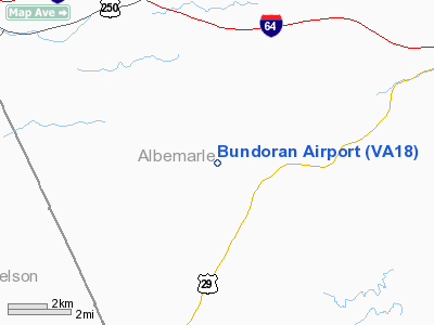
Location & QuickFacts
| FAA Information Effective: | 2008-09-25 |
| Airport Identifier: | VA18 |
| Airport Status: | Operational |
| Longitude/Latitude: | 078-40-56.0640W/37-58-06.5040N
-78.682240/37.968473 (Estimated) |
| Elevation: | 840 ft / 256.03 m (Surveyed) |
| Land: | 0 acres |
| From nearest city: | 10 nautical miles SW of Charlottesville, VA |
| Location: | Albemarle County, VA |
| Magnetic Variation: | 08W (1985) |
Owner & Manager
| Ownership: | Privately owned |
| Owner: | Fred W. Scott Jr. |
| Address: | 1801 Bundoran Drive
North Garden, VA 22959 |
| Phone number: | 434-295-4188 |
| Manager: | Fred W. Scott Jr. |
| Address: | 1801 Bundoran Drive
North Garden, VA 22959 |
| Phone number: | 434-295-4188 |
Airport Operations and Facilities
| Airport Use: | Private |
| Wind indicator: | Yes |
| Segmented Circle: | No |
| Control Tower: | No |
| Landing fee charge: | No |
| Sectional chart: | Washington |
| Region: | AEA - Eastern |
| Boundary ARTCC: | ZDC - Washington |
| Tie-in FSS: | DCA - Leesburg |
| FSS on Airport: | No |
| FSS Toll Free: | 1-800-WX-BRIEF |
Airport Communications
Airport Services
| Airframe Repair: | NONE |
| Power Plant Repair: | NONE |
Runway Information
Runway 15/33
| Dimension: | 3000 x 100 ft / 914.4 x 30.5 m |
| Surface: | TURF, |
| |
Runway 15 |
Runway 33 |
| Traffic Pattern: | Left | Right |
|
Radio Navigation Aids
| ID |
Type |
Name |
Ch |
Freq |
Var |
Dist |
| AZS | NDB | Azalea Park | | 336.00 | 08W | 8.2 nm |
| VBW | NDB | Bridgewater | | 241.00 | 07W | 27.3 nm |
| FVX | NDB | Farmville | | 367.00 | 07W | 38.8 nm |
| IQK | NDB | Louisa | | 382.00 | 09W | 39.1 nm |
| LUA | NDB | Caverns | | 245.00 | 09W | 45.1 nm |
| MSQ | NDB | Nailr | | 351.00 | 10W | 46.9 nm |
| MOL | VOR/DME | Montebello | 100X | 115.30 | 05W | 20.5 nm |
| GVE | VORTAC | Gordonsville | 103X | 115.60 | 06W | 25.2 nm |
| FAK | VORTAC | Flat Rock | 080X | 113.30 | 06W | 48.4 nm |
Images and information placed above are from
http://www.airport-data.com/airport/VA18/
We thank them for the data!
| General Info
|
| Country |
United States
|
| State |
VIRGINIA
|
| FAA ID |
VA18
|
| Latitude |
37-58-06.504N
|
| Longitude |
078-40-56.064W
|
| Elevation |
840 feet
|
| Near City |
CHARLOTTESVILLE
|
We don't guarantee the information is fresh and accurate. The data may
be wrong or outdated.
For more up-to-date information please refer to other sources.
|
|


