 |
|
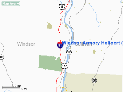
Location & QuickFacts
| FAA Information Effective: | 2008-09-25 |
| Airport Identifier: | VT37 |
| Airport Status: | Operational |
| Longitude/Latitude: | 072-24-13.3270W/43-28-15.2580N
-72.403702/43.470905 (Estimated) |
| Elevation: | 400 ft / 121.92 m (Estimated) |
| Land: | 0 acres |
| From nearest city: | 0 nautical miles S of Windsor, VT |
| Location: | Windsor County, VT |
| Magnetic Variation: | 15W (1985) |
Owner & Manager
| Ownership: | Publicly owned
STATE OWNED. |
| Owner: | Vt National Guard |
| Address: | Camp Johnson
South Burlington, VT 05401 |
| Phone number: | 802-654-0400 |
| Manager: | Col William S Stirtwalt
ARMY AVIATION SUPPORT FACILITY, VERMONT ARMY NATIONAL GAURD |
| Address: | 141 Shamrock Rd
South Burlington, VT 05403 |
| Phone number: | 802-338-3502
EXT 40 OR 77. |
Airport Operations and Facilities
| Airport Use: | Private |
| Wind indicator: | No |
| Segmented Circle: | No |
| Control Tower: | No |
| Landing fee charge: | No |
| Sectional chart: | New York |
| Region: | ANE - New England |
| Boundary ARTCC: | ZBW - Boston |
| Tie-in FSS: | BTV - Burlington |
| FSS on Airport: | No |
| FSS Toll Free: | 1-800-WX-BRIEF |
Airport Services
| Airframe Repair: | NONE |
| Power Plant Repair: | NONE |
Runway Information
Helipad H1
| Dimension: | 85 x 85 ft / 25.9 x 25.9 m |
| Surface: | TURF, |
| |
Runway H1 |
Runway |
| Traffic Pattern: | Left | Left |
|
Radio Navigation Aids
| ID |
Type |
Name |
Ch |
Freq |
Var |
Dist |
| R | FAN MARKER | Chitt | | | 14W | 26.8 nm |
| LCI | FAN MARKER | Laconia | | | | 42.4 nm |
| IVV | NDB | White River | | 379.00 | 16W | 6.0 nm |
| CNH | NDB | Claremont | | 233.00 | 16W | 6.3 nm |
| SXD | NDB | Springfield | | 265.00 | 15W | 14.5 nm |
| LAH | NDB | Hanover | | 276.00 | 15W | 17.0 nm |
| DYO | NDB | Smuto | | 221.00 | 15W | 27.9 nm |
| LC | NDB | Blnap | | 328.00 | 16W | 38.0 nm |
| VWD | NDB | Mount Snow | | 224.00 | 15W | 38.4 nm |
| CO | NDB | Epsom | | 216.00 | 16W | 46.7 nm |
| LEB | VOR/DME | Lebanon | 084X | 113.70 | 15W | 14.9 nm |
| RUT | VOR/DME | Rutland | 47X | 111.00 | 15W | 24.1 nm |
| MPV | VOR/DME | Montpelier | 045X | 110.80 | 16W | 37.0 nm |
| CON | VORTAC | Concord | 076X | 112.90 | 15W | 39.2 nm |
| EEN | VORTAC | Keene | 031X | 109.40 | 14W | 41.0 nm |
Remarks
Images and information placed above are from
http://www.airport-data.com/airport/VT37/
We thank them for the data!
| General Info
|
| Country |
United States
|
| State |
VERMONT
|
| FAA ID |
VT37
|
| Latitude |
43-28-15.258N
|
| Longitude |
072-24-13.327W
|
| Elevation |
400 feet
|
| Near City |
WINDSOR
|
We don't guarantee the information is fresh and accurate. The data may
be wrong or outdated.
For more up-to-date information please refer to other sources.
|
|


