 |
|
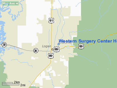
Western Surgery Center Heliport |
Location & QuickFacts
| FAA Information Effective: | 2008-09-25 |
| Airport Identifier: | UT22 |
| Airport Status: | Operational |
| Longitude/Latitude: | 111-49-02.7960W/41-44-49.7490N
-111.817443/41.747153 (Estimated) |
| Elevation: | 4465 ft / 1360.93 m (Estimated) |
| Land: | 0 acres |
| From nearest city: | 0 nautical miles N of Logan, UT |
| Location: | Cache County, UT |
| Magnetic Variation: | 15E (1990) |
Owner & Manager
| Ownership: | Privately owned |
| Owner: | Western Surgery Center, Inc. |
| Address: | 850 E. 1200 N.
Logan, UT 84321 |
| Phone number: | 801-750-3670 |
| Manager: | Steve Hodson |
| Address: | 850 E. 1200 N.
Logan, UT 84321 |
| Phone number: | 801-750-3670 |
Airport Operations and Facilities
| Airport Use: | Private
MEDICAL USE ONLY. |
| Wind indicator: | Yes |
| Segmented Circle: | No |
| Control Tower: | No |
| Sectional chart: | Salt Lake City |
| Region: | ANM - Northwest Mountain |
| Boundary ARTCC: | ZLC - Salt Lake City |
| Tie-in FSS: | CDC - Cedar City |
| FSS on Airport: | No |
| FSS Toll Free: | 1-800-WX-BRIEF |
Runway Information
Helipad H1
| Dimension: | 75 x 75 ft / 22.9 x 22.9 m |
| Surface: | CONC, |
| |
Runway H1 |
Runway |
| Traffic Pattern: | Left | Left |
|
Radio Navigation Aids
| ID |
Type |
Name |
Ch |
Freq |
Var |
Dist |
| BMC | NDB | Brigham City | | 294.00 | 16E | 18.2 nm |
| HIF | TACAN | Hill | 049X | | 14E | 38.2 nm |
| LGU | VOR/DME | Logan | 035X | 109.80 | 16E | 6.2 nm |
| LHO | VOR/DME | Brigham City | 076X | 112.90 | 14E | 9.0 nm |
| MLD | VOR/DME | Malad City | 121X | 117.40 | 17E | 39.3 nm |
| EVW | VOR/DME | Evanston | 33X | 109.60 | 13E | 44.9 nm |
| OGD | VORTAC | Ogden | 104X | 115.70 | 14E | 33.9 nm |
Remarks
- PRVDD INGRESS/EGRESS RT LIMITED TO 260 DEGS DIRECTION ONLY AND ALL USERS ARE CAUTIONED TO THIS ROUTE. LANDING SITE IS PVT USE ONLY.
Images and information placed above are from
http://www.airport-data.com/airport/UT22/
We thank them for the data!
| General Info
|
| Country |
United States
|
| State |
UTAH
|
| FAA ID |
UT22
|
| Latitude |
41-44-49.749N
|
| Longitude |
111-49-02.796W
|
| Elevation |
4465 feet
|
| Near City |
LOGAN
|
We don't guarantee the information is fresh and accurate. The data may
be wrong or outdated.
For more up-to-date information please refer to other sources.
|
|


