 |
|
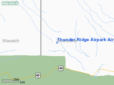
Thunder Ridge Airpark Airport |
Location & QuickFacts
| FAA Information Effective: | 2008-09-25 |
| Airport Identifier: | UT83 |
| Airport Status: | Operational |
| Longitude/Latitude: | 110-51-31.0000W/40-15-28.1500N
-110.858611/40.257819 (Estimated) |
| Elevation: | 7050 ft / 2148.84 m (Estimated) |
| Land: | 12 acres |
| From nearest city: | 3 nautical miles SE of Fruitland, UT |
| Location: | Duchesne County, UT |
| Magnetic Variation: | () |
Owner & Manager
| Ownership: | Privately owned |
| Owner: | Thunder Ridge Airpark, Llc |
| Address: | 357w 910s, Unit A
Heber City, UT 84032 |
| Phone number: | 435-654-1867 |
| Manager: | Tracy Livingston |
| Address: | 357w 910s, Unit A
Heber City, UT 84032 |
| Phone number: | 435-654-1867 |
Airport Operations and Facilities
| Airport Use: | Private |
| Wind indicator: | Yes |
| Control Tower: | No |
| Sectional chart: | Salt Lake City |
| Region: | ANM - Northwest Mountain |
| Boundary ARTCC: | ZLC - Salt Lake City |
| Tie-in FSS: | CDC - Cedar City |
| FSS Toll Free: | 1-800-WX-BRIEF |
Runway Information
Runway 13/31
| Dimension: | 4000 x 48 ft / 1219.2 x 14.6 m |
| Surface: | ASPH, |
| |
Runway 13 |
Runway 31 |
| Traffic Pattern: | Left | Left |
| Displaced threshold: | 175.00 ft | 0.00 ft |
|
Radio Navigation Aids
| ID |
Type |
Name |
Ch |
Freq |
Var |
Dist |
| PUC | VOR/DME | Carbon | 102X | 115.50 | 14E | 39.6 nm |
| PVU | VOR/DME | Provo | 021X | 108.40 | 15E | 39.7 nm |
| MTU | VORTAC | Myton | 074X | 112.70 | 14E | 34.2 nm |
| FFU | VORTAC | Fairfield | 113X | 116.60 | 16E | 49.6 nm |
Remarks
- WILDLIFE ON RY, RY 31 NOT RECOMMENDED FOR DEP, RY 13 NOT RECOMMENDED FOR LND DUE TO RISING TRRN.
- OWNER DESIRES CHARTING.
Images and information placed above are from
http://www.airport-data.com/airport/UT83/
We thank them for the data!
|
|


