|
|
 |
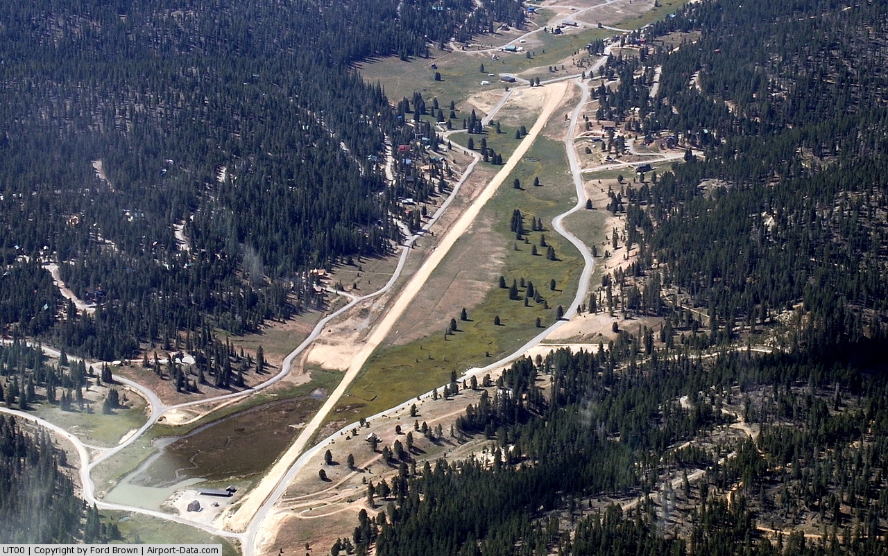
(Click on the photo to enlarge) |
 |
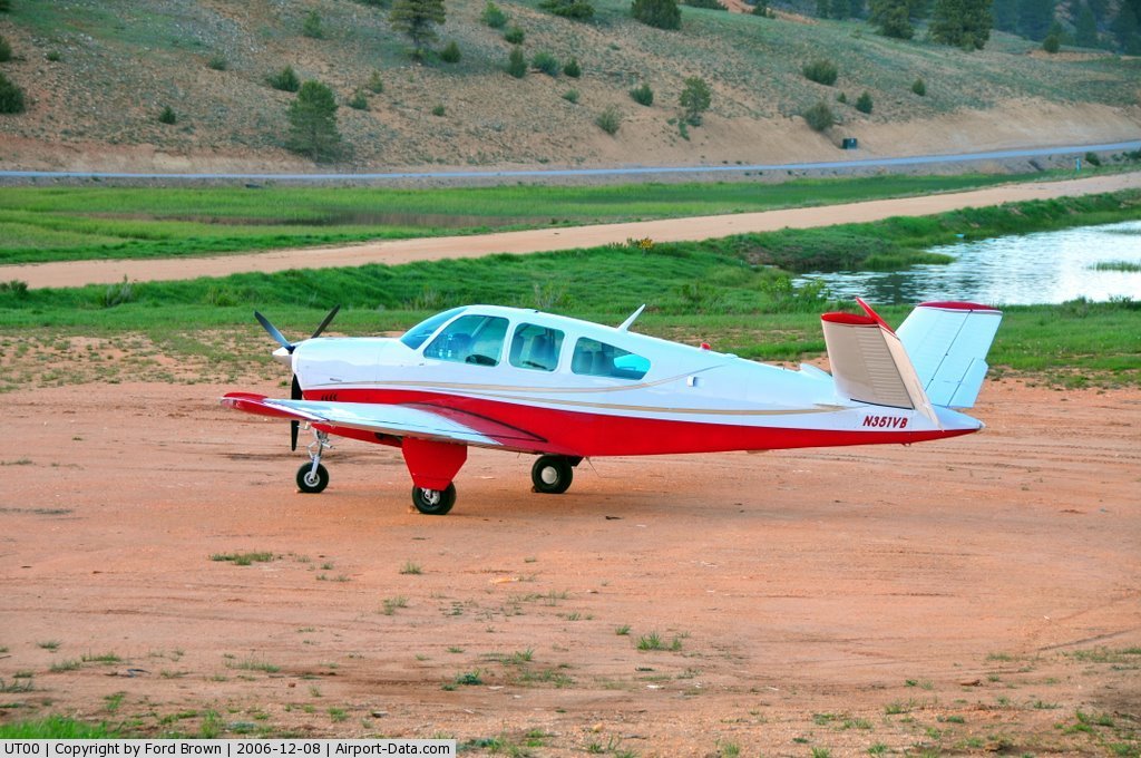
(Click on the photo to enlarge) |
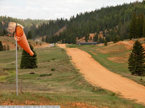 |
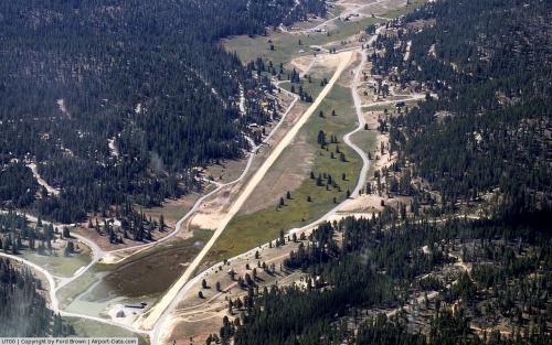
(Click on the photo to enlarge) |
Location & QuickFacts
| FAA Information Effective: | 2008-09-25 |
| Airport Identifier: | UT00 |
| Airport Status: | Operational |
| Longitude/Latitude: | 112-37-19.7650W/37-28-19.9310N
-112.622157/37.472203 (Estimated) |
| Elevation: | 7780 ft / 2371.34 m (Estimated) |
| Land: | 70 acres |
| From nearest city: | 7 nautical miles NW of Alton, UT |
| Location: | Kane County, UT |
| Magnetic Variation: | 14E (1985) |
Owner & Manager
| Ownership: | Privately owned |
| Owner: | Swains Creek Pines Lot Owners |
| Address: | Po Box 1164
Duck Creek Village, UT 84762 |
| Phone number: | 801-682-2140 |
| Manager: | Bill Rodreick |
| Address: | Po Box 1164
Duck Creek Village, UT 84762 |
| Phone number: | 435-682-3127 |
Airport Operations and Facilities
| Airport Use: | Private |
| Wind indicator: | Yes |
| Segmented Circle: | No |
| Control Tower: | No |
| Landing fee charge: | No |
| Sectional chart: | Las Vegas |
| Region: | ANM - Northwest Mountain |
| Boundary ARTCC: | ZLA - Los Angeles |
| Tie-in FSS: | CDC - Cedar City |
| FSS on Airport: | No |
| FSS Toll Free: | 1-800-WX-BRIEF |
Airport Services
| Airframe Repair: | NONE |
| Power Plant Repair: | NONE |
Runway Information
Runway 01/19
| Dimension: | 5600 x 50 ft / 1706.9 x 15.2 m |
| Surface: | DIRT, Good Condition |
| |
Runway 01 |
Runway 19 |
| Traffic Pattern: | Right | Left |
| Obstruction: | 200 ft trees, 1200.0 ft from runway, 8:1 slope to clear
+150' TREES 100' LEFT OF CNTRLN EXTNDD. | 15 ft road, 25.0 ft from runway, 2:1 slope to clear |
|
Radio Navigation Aids
| ID |
Type |
Name |
Ch |
Freq |
Var |
Dist |
| AZC | NDB | Colorado City | | 403.00 | 13E | 35.9 nm |
| CDC | VOR/DME | Cedar City | 120X | 117.30 | 16E | 28.5 nm |
| BCE | VORTAC | Bryce Canyon | 075X | 112.80 | 15E | 20.0 nm |
Remarks
- RWY COND: GOOD; TAKEOFF TO NORTH & LAND TO SOUTH ADVISABLE DUE TO RWY GRADIENT AND TERRAIN RISE TO SOUTH.
Images and information placed above are from
http://www.airport-data.com/airport/UT00/
We thank them for the data!
| General Info
|
| Country |
United States
|
| State |
UTAH
|
| FAA ID |
UT00
|
| Latitude |
37-28-19.931N
|
| Longitude |
112-37-19.765W
|
| Elevation |
7780 feet
|
| Near City |
ALTON
|
We don't guarantee the information is fresh and accurate. The data may
be wrong or outdated.
For more up-to-date information please refer to other sources.
|
|