 |
|
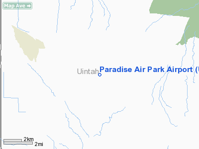
Paradise Air Park Airport |
Location & QuickFacts
| FAA Information Effective: | 2008-09-25 |
| Airport Identifier: | UT67 |
| Airport Status: | Operational |
| Longitude/Latitude: | 109-50-49.0310W/40-26-27.8460N
-109.846953/40.441068 (Estimated) |
| Elevation: | 5700 ft / 1737.36 m (Surveyed) |
| Land: | 0 acres |
| From nearest city: | 1 nautical miles SE of Tridell, UT |
| Location: | Uintah County, UT |
| Magnetic Variation: | 14E (1985) |
Owner & Manager
| Ownership: | Privately owned |
| Owner: | Randy L. Goodrich |
| Address: | Po Box 275
Tridell, UT 84076 |
| Phone number: | 801-247-2600 |
| Manager: | Randy L Goodrich |
| Address: | Po Box 275
Tridel, UT 84076 |
| Phone number: | 801-247-2600 |
Airport Operations and Facilities
| Airport Use: | Private |
| Wind indicator: | Yes |
| Segmented Circle: | No |
| Control Tower: | No |
| Landing fee charge: | No |
| Sectional chart: | Salt Lake City |
| Region: | ANM - Northwest Mountain |
| Boundary ARTCC: | ZLC - Salt Lake City |
| Tie-in FSS: | CDC - Cedar City |
| FSS Toll Free: | 1-800-WX-BRIEF |
Airport Services
Runway Information
Runway 01/19
| Dimension: | 3800 x 50 ft / 1158.2 x 15.2 m |
| Surface: | DIRT-GRVL, |
| |
Runway 01 |
Runway 19 |
| Traffic Pattern: | Left | Left |
|
Radio Navigation Aids
| ID |
Type |
Name |
Ch |
Freq |
Var |
Dist |
| VEL | VOR/DME | Vernal | 019X | 108.20 | 15E | 16.6 nm |
| MTU | VORTAC | Myton | 074X | 112.70 | 14E | 21.8 nm |
Images and information placed above are from
http://www.airport-data.com/airport/UT67/
We thank them for the data!
| General Info
|
| Country |
United States
|
| State |
UTAH
|
| FAA ID |
UT67
|
| Latitude |
40-26-27.846N
|
| Longitude |
109-50-49.031W
|
| Elevation |
5700 feet
|
| Near City |
TRIDELL
|
We don't guarantee the information is fresh and accurate. The data may
be wrong or outdated.
For more up-to-date information please refer to other sources.
|
|


