 |
|
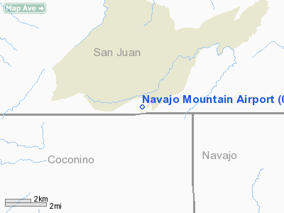
Location & QuickFacts
| FAA Information Effective: | 2008-09-25 |
| Airport Identifier: | 04UT |
| Airport Status: | Operational |
| Longitude/Latitude: | 110-47-42.4920W/37-00-29.9870N
-110.795137/37.008330 (Estimated) |
| Elevation: | 6160 ft / 1877.57 m (Estimated) |
| Land: | 0 acres |
| From nearest city: | 1 nautical miles S of Navajo Mountain Trdng Post, UT |
| Location: | San Juan County, UT |
| Magnetic Variation: | 13E (1985) |
Owner & Manager
| Ownership: | Privately owned |
| Owner: | Navajo Air Transportation |
| Address: | Box 706
Window Rock, AZ 86515 |
| Phone number: | 602-871-6466 |
| Manager: | Jim Pomeroy |
| Address: | Navajo Avn Auth, Box 706
Window Rock, AZ 86515 |
| Phone number: | 602-871-6466 |
Airport Operations and Facilities
| Airport Use: | Private |
| Wind indicator: | Yes |
| Segmented Circle: | No |
| Control Tower: | No |
| Landing fee charge: | No |
| Sectional chart: | Denver |
| Region: | ANM - Northwest Mountain |
| Boundary ARTCC: | ZDV - Denver |
| Tie-in FSS: | CDC - Cedar City |
| FSS on Airport: | No |
| FSS Toll Free: | 1-800-WX-BRIEF |
Airport Services
| Airframe Repair: | NONE |
| Power Plant Repair: | NONE |
| Bottled Oxygen: | NONE |
| Bulk Oxygen: | NONE |
Runway Information
Runway 04/22
| Dimension: | 3700 x 50 ft / 1127.8 x 15.2 m |
| Surface: | DIRT, |
| |
Runway 04 |
Runway 22 |
| Traffic Pattern: | Left | Left |
| Runway End Identifier: | No | No |
| Centerline Lights: | No | No |
| Touchdown Lights: | No | No |
| Obstruction: | 100 ft hill, 3000.0 ft from runway, 30:1 slope to clear | 15 ft road, 0.0 ft from runway, 1:1 slope to clear |
|
Radio Navigation Aids
| ID |
Type |
Name |
Ch |
Freq |
Var |
Dist |
| PBY | NDB | Peabody | | 259.00 | 13E | 37.0 nm |
| PGA | VOR/DME | Page | 123X | 117.60 | 13E | 31.7 nm |
Remarks
- LOW BUSHES NEAR RWY; RWY SFC SMOOTH WITH SMALL ROCKS.
- TAKEOFF ON RWY 22 NOT ADVISABLE DUE TO UPHILL GRADIENT.
- LCL CONTACT FOR RWY COND: JOE FOLGHEITER 602-283-5322.
Images and information placed above are from
http://www.airport-data.com/airport/04UT/
We thank them for the data!
| General Info
|
| Country |
United States
|
| State |
UTAH
|
| FAA ID |
04UT
|
| Latitude |
37-00-29.987N
|
| Longitude |
110-47-42.492W
|
| Elevation |
6160 feet
|
| Near City |
NAVAJO MOUNTAIN TRDNG POST
|
We don't guarantee the information is fresh and accurate. The data may
be wrong or outdated.
For more up-to-date information please refer to other sources.
|
|


