 |
|
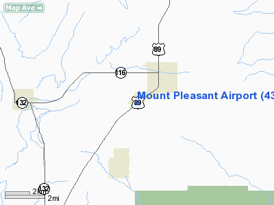
Location & QuickFacts
| FAA Information Effective: | 2008-09-25 |
| Airport Identifier: | 43U |
| Airport Status: | Operational |
| Longitude/Latitude: | 111-28-30.6790W/39-31-28.8660N
-111.475189/39.524685 (Estimated) |
| Elevation: | 5829 ft / 1776.68 m (Surveyed) |
| Land: | 361 acres |
| From nearest city: | 2 nautical miles SW of Mount Pleasant, UT |
| Location: | Sanpete County, UT |
| Magnetic Variation: | 14E (1985) |
Owner & Manager
| Ownership: | Publicly owned |
| Owner: | City Of Mount Pleasant |
| Address: | 115 West Main St
Mount Pleasant, UT 84647 |
| Phone number: | 435-462-2456 |
| Manager: | Dave Fullmer |
| Address: | Po Box 256
Fairview, UT 84629 |
| Phone number: | 435-427-9131
OR 801-966-0562. |
Airport Operations and Facilities
| Airport Use: | Open to public |
| Wind indicator: | Yes |
| Segmented Circle: | No |
| Control Tower: | No |
| Lighting Schedule: | DUSK-DAWN
ACTVT MIRL RY 02/20 - CTAF. |
| Beacon Color: | Clear-Green (lighted land airport) |
| Landing fee charge: | No |
| Sectional chart: | Las Vegas |
| Region: | ANM - Northwest Mountain |
| Boundary ARTCC: | ZLC - Salt Lake City |
| Tie-in FSS: | CDC - Cedar City |
| FSS on Airport: | No |
| FSS Toll Free: | 1-800-WX-BRIEF |
| NOTAMs Facility: | CDC (NOTAM-d service avaliable) |
Airport Communications
Airport Services
| Airframe Repair: | NONE |
| Power Plant Repair: | NONE |
| Bottled Oxygen: | NONE |
| Bulk Oxygen: | NONE |
Runway Information
Runway 02/20
| Dimension: | 4260 x 60 ft / 1298.4 x 18.3 m |
| Surface: | ASPH, Fair Condition |
| Edge Lights: | Medium |
| |
Runway 02 |
Runway 20 |
| Traffic Pattern: | Left | Left |
| Markings: | Basic, Fair Condition | Basic, Good Condition |
| Displaced threshold: | 0.00 ft | 200.00 ft |
| Obstruction: | 10 ft brush, 252.0 ft from runway, 97 ft left of centerline, 5:1 slope to clear | 15 ft road, 246.0 ft from runway, 3:1 slope to clear
APCH SLOPE 29:1 TO DSPLCD THLD |
|
Radio Navigation Aids
| ID |
Type |
Name |
Ch |
Freq |
Var |
Dist |
| PUC | VOR/DME | Carbon | 102X | 115.50 | 14E | 33.8 nm |
| PVU | VOR/DME | Provo | 021X | 108.40 | 15E | 43.0 nm |
| DTA | VORTAC | Delta | 108X | 116.10 | 16E | 49.7 nm |
| FFU | VORTAC | Fairfield | 113X | 116.60 | 16E | 49.9 nm |
Remarks
- EXTENSIVE ULTRALIGHT AND MODEL AIRPLANE ACTIVITY ON AND INVOF ARPT.
- NO LINE OF SIGHT BTN RY ENDS DUE TO HUMP IN RY.
- ESTABD PRIOR TO 1959.
Images and information placed above are from
http://www.airport-data.com/airport/43U/
We thank them for the data!
| General Info
|
| Country |
United States
|
| State |
UTAH
|
| FAA ID |
43U
|
| Latitude |
39-31-28.866N
|
| Longitude |
111-28-30.679W
|
| Elevation |
5829 feet
|
| Near City |
MOUNT PLEASANT
|
We don't guarantee the information is fresh and accurate. The data may
be wrong or outdated.
For more up-to-date information please refer to other sources.
|
|


