 |
|
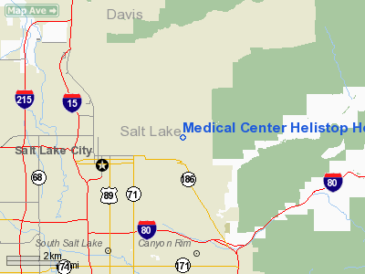
Medical Center Helistop Heliport |
Location & QuickFacts
| FAA Information Effective: | 2008-09-25 |
| Airport Identifier: | UT21 |
| Airport Status: | Operational |
| Longitude/Latitude: | 111-50-07.7000W/40-46-13.8000N
-111.835472/40.770500 (Estimated) |
| Elevation: | 5000 ft / 1524.00 m (Estimated) |
| Land: | 4971 acres |
| From nearest city: | 3 nautical miles E of Salt Lake City, UT |
| Location: | Salt Lake County, UT |
| Magnetic Variation: | 15E (1985) |
Owner & Manager
| Ownership: | Privately owned |
| Owner: | University Of Utah Hospital |
| Address: | 50 N. Medical Dr.
Salt Lake City, UT 84132 |
| Phone number: | 801-581-2241 |
| Manager: | Brian Sampson
OTHER CONTACT; SUSAN ANDERSON 127 S 500 E #520 SALT LAKE CITY, UT 8410; 801-587-6633 |
| Address: | 50 N Medical Dr
Salt Lake City, UT 84132 |
| Phone number: | 801-581-2318 |
Airport Operations and Facilities
| Airport Use: | Private
MEDICAL USE. |
| Wind indicator: | Yes |
| Segmented Circle: | No |
| Control Tower: | No |
| Lighting Schedule: | 24 HRS |
| Beacon Color: | Clear-Green-Yellow (heliport) |
| Landing fee charge: | No |
| Sectional chart: | Salt Lake City |
| Region: | ANM - Northwest Mountain |
| Boundary ARTCC: | ZLC - Salt Lake City |
| Tie-in FSS: | CDC - Cedar City |
| FSS on Airport: | No |
| FSS Toll Free: | 1-800-WX-BRIEF |
Airport Communications
| Unicom: | 123.050
ARPT MAY BE CONTACTED ON MULTICOM 123.050. |
Airport Services
| Fuel available: | A |
| Airframe Repair: | NONE |
| Power Plant Repair: | NONE |
Runway Information
Helipad H1
| Dimension: | 50 x 50 ft / 15.2 x 15.2 m |
| Surface: | ASPH, |
| |
Runway H1 |
Runway |
| Traffic Pattern: | Left | Left |
|
Helipad H2
| Dimension: | 50 x 50 ft / 15.2 x 15.2 m |
| Surface: | ASPH, |
| |
Runway H2 |
Runway |
| Traffic Pattern: | Left | Left |
|
Helipad H3
| Dimension: | 50 x 50 ft / 15.2 x 15.2 m |
| Surface: | ASPH, |
| |
Runway H3 |
Runway |
| Traffic Pattern: | Left | Left |
|
Radio Navigation Aids
| ID |
Type |
Name |
Ch |
Freq |
Var |
Dist |
| TVY | NDB | Tooele | | 371.00 | 13E | 25.2 nm |
| BMC | NDB | Brigham City | | 294.00 | 16E | 46.1 nm |
| HIF | TACAN | Hill | 049X | | 14E | 21.8 nm |
| PVU | VOR/DME | Provo | 021X | 108.40 | 15E | 33.8 nm |
| EVW | VOR/DME | Evanston | 33X | 109.60 | 13E | 46.8 nm |
| TCH | VORTAC | Wasatch | 115X | 116.80 | 16E | 8.2 nm |
| OGD | VORTAC | Ogden | 104X | 115.70 | 14E | 29.8 nm |
| FFU | VORTAC | Fairfield | 113X | 116.60 | 16E | 30.2 nm |
| SLC | VOT | Salt Lake City | | 111.00 | | 11.5 nm |
Images and information placed above are from
http://www.airport-data.com/airport/UT21/
We thank them for the data!
| General Info
|
| Country |
United States
|
| State |
UTAH
|
| FAA ID |
UT21
|
| Latitude |
40-46-13.800N
|
| Longitude |
111-50-07.700W
|
| Elevation |
5000 feet
|
| Near City |
SALT LAKE CITY
|
We don't guarantee the information is fresh and accurate. The data may
be wrong or outdated.
For more up-to-date information please refer to other sources.
|
|


