 |
|
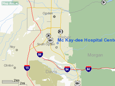
Mc Kay-dee Hospital Center Heliport |
Location & QuickFacts
| FAA Information Effective: | 2008-09-25 |
| Airport Identifier: | UT16 |
| Airport Status: | Operational |
| Longitude/Latitude: | 111-57-18.1200W/41-10-58.5600N
-111.955033/41.182933 (Estimated) |
| Elevation: | 4615 ft / 1406.65 m (Estimated) |
| Land: | 50 acres |
| From nearest city: | 3 nautical miles NW of Ogden, UT |
| Location: | Weber County, UT |
| Magnetic Variation: | 16E (1985) |
Owner & Manager
| Ownership: | Privately owned |
| Owner: | I H C Health Services Inc |
| Address: | 36 Soth State St
Salt Lake City, UT 84111 |
| Phone number: | 801-398-2077 |
| Manager: | Bill Butts |
| Address: | 250 N. 2370 W
Salt Lake City, UT 84116 |
| Phone number: | 801-321-3355 |
Airport Operations and Facilities
| Airport Use: | Private
MEDICAL USE. |
| Wind indicator: | Yes |
| Segmented Circle: | No |
| Control Tower: | No |
| Lighting Schedule: | DUSK-DAWN |
| Landing fee charge: | No |
| Sectional chart: | Klamath Falls |
| Region: | ANM - Northwest Mountain |
| Boundary ARTCC: | ZLC - Salt Lake City |
| Responsible ARTCC: | ZSE - Seattle |
| Tie-in FSS: | CDC - Cedar City |
| FSS on Airport: | No |
| FSS Toll Free: | 1-800-WX-BRIEF |
Runway Information
Helipad H1
| Dimension: | 60 x 60 ft / 18.3 x 18.3 m |
| Surface: | CONC, |
| |
Runway H1 |
Runway |
| Traffic Pattern: | Left | Left |
|
Radio Navigation Aids
| ID |
Type |
Name |
Ch |
Freq |
Var |
Dist |
| BMC | NDB | Brigham City | | 294.00 | 16E | 20.8 nm |
| TVY | NDB | Tooele | | 371.00 | 13E | 38.7 nm |
| HIF | TACAN | Hill | 049X | | 14E | 3.8 nm |
| LHO | VOR/DME | Brigham City | 076X | 112.90 | 14E | 36.7 nm |
| LGU | VOR/DME | Logan | 035X | 109.80 | 16E | 39.9 nm |
| EVW | VOR/DME | Evanston | 33X | 109.60 | 13E | 41.4 nm |
| OGD | VORTAC | Ogden | 104X | 115.70 | 14E | 6.9 nm |
| TCH | VORTAC | Wasatch | 115X | 116.80 | 16E | 20.0 nm |
| SLC | VOT | Salt Lake City | | 111.00 | | 33.8 nm |
Images and information placed above are from
http://www.airport-data.com/airport/UT16/
We thank them for the data!
| General Info
|
| Country |
United States
|
| State |
UTAH
|
| FAA ID |
UT16
|
| Latitude |
41-10-58.560N
|
| Longitude |
111-57-18.120W
|
| Elevation |
4615 feet
|
| Near City |
OGDEN
|
We don't guarantee the information is fresh and accurate. The data may
be wrong or outdated.
For more up-to-date information please refer to other sources.
|
|


