 |
|
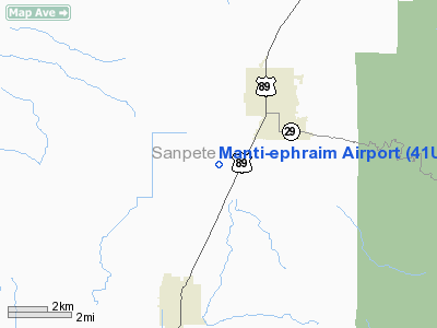
Location & QuickFacts
| FAA Information Effective: | 2008-09-25 |
| Airport Identifier: | 41U |
| Airport Status: | Operational |
| Longitude/Latitude: | 111-36-52.7030W/39-19-44.8620N
-111.614640/39.329128 (Estimated) |
| Elevation: | 5500 ft / 1676.40 m (Estimated) |
| Land: | 240 acres |
| From nearest city: | 3 nautical miles SW of Manti, UT |
| Location: | Sanpete County, UT |
| Magnetic Variation: | 14E (1985) |
Owner & Manager
| Ownership: | Publicly owned |
| Owner: | Cities Of Manti & Ephraim |
| Address: | 5 South Main
Ephraim, UT 84627 |
| Phone number: | 435-283-4631 |
| Manager: | Richard Anderson |
| Address: | 5 South Main
Ephraim, UT 84627 |
| Phone number: | 435-283-4631 |
Airport Operations and Facilities
| Airport Use: | Open to public |
| Segmented Circle: | Yes |
| Control Tower: | No |
| Lighting Schedule: | DUSK-DAWN
ACTVT MIRL RY 03/21 & PAPI RYS 03 & 21 - CTAF. |
| Beacon Color: | Clear-Green (lighted land airport) |
| Landing fee charge: | No |
| Sectional chart: | Las Vegas |
| Region: | ANM - Northwest Mountain |
| Boundary ARTCC: | ZLC - Salt Lake City |
| Tie-in FSS: | CDC - Cedar City |
| FSS on Airport: | No |
| FSS Toll Free: | 1-800-WX-BRIEF |
| NOTAMs Facility: | CDC (NOTAM-d service avaliable) |
| Federal Agreements: | NGY |
Airport Communications
| CTAF: | 122.800 |
| Unicom: | 122.800 |
Airport Services
Runway Information
Runway 03/21
| Dimension: | 4584 x 75 ft / 1397.2 x 22.9 m |
| Surface: | ASPH, Fair Condition |
| Surface Treatment: | Porous Friction Course |
| Weight Limit: | Single wheel: 24000 lbs. |
| Edge Lights: | Medium |
| |
Runway 03 |
Runway 21 |
| Longitude: | 111-36-36.6300W | 111-35-55.0700W |
| Latitude: | 39-19-36.9500N | 39-20-08.7400N |
| Elevation: | 5470.00 ft | 5509.00 ft |
| Alignment: | 45 | 127 |
| Traffic Pattern: | Left | Left |
| Markings: | Basic, Poor Condition
RY 03/21 MKNGS FADED. | Basic, Poor Condition |
| Crossing Height: | 40.00 ft | 40.00 ft |
| VASI: | 2-light PAPI on left side | 2-light PAPI on left side |
| Visual Glide Angle: | 3.00° | 3.00° |
| Obstruction: | 15 ft road, 585.0 ft from runway, 25:1 slope to clear | 36 ft pline, 1028.0 ft from runway, 90 ft left of centerline, 23:1 slope to clear |
|
Radio Navigation Aids
| ID |
Type |
Name |
Ch |
Freq |
Var |
Dist |
| PUC | VOR/DME | Carbon | 102X | 115.50 | 14E | 43.2 nm |
| DTA | VORTAC | Delta | 108X | 116.10 | 16E | 41.5 nm |
Images and information placed above are from
http://www.airport-data.com/airport/41U/
We thank them for the data!
| General Info
|
| Country |
United States
|
| State |
UTAH
|
| FAA ID |
41U
|
| Latitude |
39-19-44.862N
|
| Longitude |
111-36-52.703W
|
| Elevation |
5500 feet
|
| Near City |
MANTI
|
We don't guarantee the information is fresh and accurate. The data may
be wrong or outdated.
For more up-to-date information please refer to other sources.
|
|


