 |
|
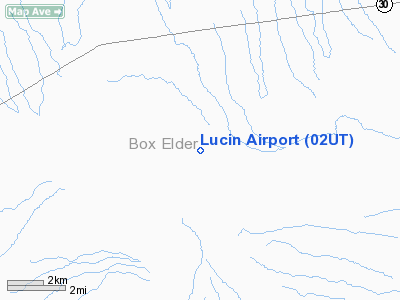
Location & QuickFacts
| FAA Information Effective: | 2008-09-25 |
| Airport Identifier: | 02UT |
| Airport Status: | Operational |
| Longitude/Latitude: | 113-50-35.0290W/41-21-58.7250N
-113.843064/41.366312 (Estimated) |
| Elevation: | 4412 ft / 1344.78 m (Surveyed) |
| Land: | 0 acres |
| From nearest city: | 3 nautical miles E of Lucin, UT |
| Location: | Box Elder County, UT |
| Magnetic Variation: | 15E (1985) |
Owner & Manager
| Ownership: | Privately owned |
| Owner: | Kat Llc/blm |
| Address: | 15903 Lakewood Blvd #103 Pmb 330
Bellflower, CA 90706 |
| Phone number: | 562-602-1451 |
| Manager: | Kat Llc |
| Address: | 15903 Lakewood Blvd #103 Pmb 330
Bellflower, CA 90706 |
| Phone number: | 562-602-1451 |
Airport Operations and Facilities
| Airport Use: | Private |
| Wind indicator: | No |
| Segmented Circle: | No |
| Control Tower: | No |
| Landing fee charge: | No |
| Sectional chart: | Salt Lake City |
| Region: | ANM - Northwest Mountain |
| Boundary ARTCC: | ZLC - Salt Lake City |
| Tie-in FSS: | CDC - Cedar City |
| FSS on Airport: | No |
| FSS Toll Free: | 1-800-WX-BRIEF |
Airport Services
| Airframe Repair: | NONE |
| Power Plant Repair: | NONE |
| Bottled Oxygen: | NONE |
| Bulk Oxygen: | NONE |
Runway Information
Runway 07/25
| Dimension: | 4000 x 30 ft / 1219.2 x 9.1 m |
| Surface: | DIRT, |
| |
Runway 07 |
Runway 25 |
| Traffic Pattern: | Left | Left |
|
Runway 16/34
| Dimension: | 4000 x 50 ft / 1219.2 x 15.2 m |
| Surface: | DIRT, Poor Condition |
| Weight Limit: | Single wheel: 6000 lbs. |
| |
Runway 16 |
Runway 34 |
| Traffic Pattern: | Left | Left |
| Runway End Identifier: | No | No |
| Centerline Lights: | No | No |
| Touchdown Lights: | No | No |
|
Radio Navigation Aids
| ID |
Type |
Name |
Ch |
Freq |
Var |
Dist |
| LCU | VORTAC | Lucin | 083X | 113.60 | 17E | 0.2 nm |
| BVL | VORTAC | Bonneville | 070X | 112.30 | 17E | 38.7 nm |
Remarks
- ROAD CROSSING RWY TO VOR STATION CAUSES A DEEP RUT.
- RWY 16/34 UNGRADED & OVERGROWN WITH SMALL BRUSH.
- RY 07/25 USE WEST END ONLY.
- EXISTED PRIOR TO 5/15/57.
Images and information placed above are from
http://www.airport-data.com/airport/02UT/
We thank them for the data!
| General Info
|
| Country |
United States
|
| State |
UTAH
|
| FAA ID |
02UT
|
| Latitude |
41-21-58.725N
|
| Longitude |
113-50-35.029W
|
| Elevation |
4412 feet
|
| Near City |
LUCIN
|
We don't guarantee the information is fresh and accurate. The data may
be wrong or outdated.
For more up-to-date information please refer to other sources.
|
|


