 |
|
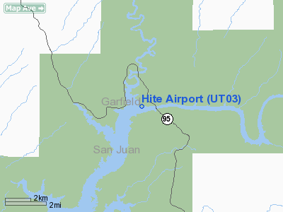
Location & QuickFacts
| FAA Information Effective: | 2008-09-25 |
| Airport Identifier: | UT03 |
| Airport Status: | Operational |
| Longitude/Latitude: | 110-23-02.5040W/37-53-29.9570N
-110.384029/37.891655 (Estimated) |
| Elevation: | 3840 ft / 1170.43 m (Estimated) |
| Land: | 0 acres |
| From nearest city: | 33 nautical miles SE of Hanksville, UT |
| Location: | Garfield County, UT |
| Magnetic Variation: | 13E (1985) |
Owner & Manager
| Ownership: | Publicly owned |
| Owner: | Glen Canyon Nra |
| Address: | Po Box 1507
Page, AZ 86040 |
| Phone number: | 602-645-2471 |
| Manager: | Superintendent |
| Address: | Glen Canyon Nra, Po Box 1507
Page, AZ 86040 |
| Phone number: | 602-645-2471 |
Airport Operations and Facilities
| Airport Use: | Private |
| Wind indicator: | Yes |
| Segmented Circle: | No |
| Control Tower: | No |
| Landing fee charge: | No |
| Sectional chart: | Denver |
| Region: | ANM - Northwest Mountain |
| Boundary ARTCC: | ZDV - Denver |
| Tie-in FSS: | CDC - Cedar City |
| FSS on Airport: | No |
| FSS Toll Free: | 1-800-WX-BRIEF |
Airport Communications
| Unicom: | 122.800
UNICOM LCTD AT MARINA STORE, USED PRIMARILY FOR GROUND TRANSPORTATION REQUESTS. |
Runway Information
Runway E/W
| Dimension: | 2200 x 40 ft / 670.6 x 12.2 m |
| Surface: | ASPH, |
| |
Runway E |
Runway W |
| Traffic Pattern: | Left | Left |
|
Radio Navigation Aids
| ID |
Type |
Name |
Ch |
Freq |
Var |
Dist |
| HVE | VORTAC | Hanksville | 106X | 115.90 | 15E | 34.9 nm |
Images and information placed above are from
http://www.airport-data.com/airport/UT03/
We thank them for the data!
| General Info
|
| Country |
United States
|
| State |
UTAH
|
| FAA ID |
UT03
|
| Latitude |
37-53-29.957N
|
| Longitude |
110-23-02.504W
|
| Elevation |
3840 feet
|
| Near City |
HANKSVILLE
|
We don't guarantee the information is fresh and accurate. The data may
be wrong or outdated.
For more up-to-date information please refer to other sources.
|
|


