 |
|
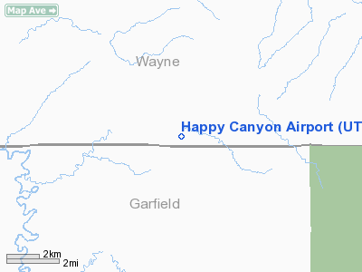
Location & QuickFacts
| FAA Information Effective: | 2008-09-25 |
| Airport Identifier: | UT97 |
| Airport Status: | Operational |
| Longitude/Latitude: | 110-17-32.0000W/38-09-26.0000N
-110.292222/38.157222 (Estimated) |
| Elevation: | 4934 ft / 1503.88 m (Estimated) |
| Land: | 0 acres |
| From nearest city: | 0 nautical miles N of Happy Canyon, UT |
| Location: | Wayne County, UT |
| Magnetic Variation: | () |
Owner & Manager
| Ownership: | Publicly owned |
| Owner: | State Of Utah School
STATE OF UTAH SCHOOL AND INSTITUTIONAL TRUST LANDS ADMINISTRATION |
| Address: | 675 East 500 South, Suite 500
Salt Lake City, UT 84102-2818 |
| Manager: | Steve Durtschi |
| Address: | 792 South 150 West
Centerville, UT 84014 |
| Phone number: | 801-292-9372 |
Airport Operations and Facilities
| Airport Use: | Private |
| Wind indicator: | Yes |
| Control Tower: | No |
| Sectional chart: | Denver |
| Region: | ANM - Northwest Mountain |
| Boundary ARTCC: | ZLA - Los Angeles |
| Tie-in FSS: | CDC - Cedar City |
| FSS Toll Free: | 1-800-WX-BRIEF |
Runway Information
Runway 09/27
| Dimension: | 2065 x 50 ft / 629.4 x 15.2 m |
| Surface: | DIRT, |
| |
Runway 09 |
Runway 27 |
| Traffic Pattern: | Left | Left |
| Displaced threshold: | 650.00 ft | 0.00 ft |
|
Runway 18/36
| Dimension: | 1290 x 50 ft / 393.2 x 15.2 m |
| Surface: | DIRT, |
| |
Runway 18 |
Runway 36 |
| Traffic Pattern: | Left | Left |
|
Radio Navigation Aids
| ID |
Type |
Name |
Ch |
Freq |
Var |
Dist |
| OAB | VOR/DME | Moab | 035X | 109.80 | 15E | 44.2 nm |
| HVE | VORTAC | Hanksville | 106X | 115.90 | 15E | 24.8 nm |
Remarks
- LND RY 09 WHEN COND ALLOW.
- TKOF RY 27 WHEN COND ALLOW.
- PRVDD PVT USE.
Images and information placed above are from
http://www.airport-data.com/airport/UT97/
We thank them for the data!
|
|


