 |
|
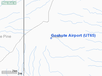
Location & QuickFacts
| FAA Information Effective: | 2008-09-25 |
| Airport Identifier: | UT65 |
| Airport Status: | Operational |
| Longitude/Latitude: | 113-58-37.5070W/39-59-52.7760N
-113.977085/39.997993 (Estimated) |
| Elevation: | 5460 ft / 1664.21 m (Estimated) |
| Land: | 0 acres |
| From nearest city: | 3 nautical miles S of Ibapah, UT |
| Location: | Tooele County, UT |
| Magnetic Variation: | 15E (1985) |
Owner & Manager
| Ownership: | Privately owned |
| Owner: | Goshute Reservation |
| Address: | Po Box 6104
Ibapah, UT 84034 |
| Phone number: | 435-234-1302 |
| Manager: | Ed Navanjo |
| Address: | Po Box 6104
Ibapah, UT 84034 |
| Phone number: | 435-234-1302 |
Airport Operations and Facilities
| Airport Use: | Private |
| Segmented Circle: | No |
| Control Tower: | No |
| Sectional chart: | Salt Lake City |
| Region: | ANM - Northwest Mountain |
| Boundary ARTCC: | ZLC - Salt Lake City |
| Tie-in FSS: | CDC - Cedar City |
| FSS Toll Free: | 1-800-WX-BRIEF |
Runway Information
Runway 01/19
| Dimension: | 3500 x 45 ft / 1066.8 x 13.7 m |
| Surface: | ASPH, |
| |
Runway 01 |
Runway 19 |
| Traffic Pattern: | Left | Left |
|
Radio Navigation Aids
| ID |
Type |
Name |
Ch |
Freq |
Var |
Dist |
| DPG | NDB | Dugway | | 284.00 | 15E | 49.1 nm |
| MIJ | TACAN | Michael | 079X | | 15E | 49.9 nm |
| BVL | VORTAC | Bonneville | 070X | 112.30 | 17E | 44.9 nm |
Remarks
- PRVDD NO ULTRALGT OPS ARE CONDUCTED.
Images and information placed above are from
http://www.airport-data.com/airport/UT65/
We thank them for the data!
| General Info
|
| Country |
United States
|
| State |
UTAH
|
| FAA ID |
UT65
|
| Latitude |
39-59-52.776N
|
| Longitude |
113-58-37.507W
|
| Elevation |
5460 feet
|
| Near City |
IBAPAH
|
We don't guarantee the information is fresh and accurate. The data may
be wrong or outdated.
For more up-to-date information please refer to other sources.
|
|


