 |
|
Location & QuickFacts
| FAA Information Effective: | 2008-09-25 |
| Airport Identifier: | UT70 |
| Airport Status: | Operational |
| Longitude/Latitude: | 114-02-13.9580W/38-57-53.8130N
-114.037211/38.964948 (Estimated) |
| Elevation: | 5225 ft / 1592.58 m (Estimated) |
| Land: | 120 acres |
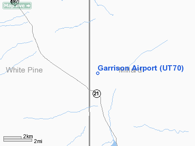
| From nearest city: | 1 nautical miles N of Garrison, UT |
| Location: | Millard County, UT |
| Magnetic Variation: | 15E (1985) |
Owner & Manager
| Ownership: | Publicly owned |
| Owner: | Millard County Sheriff |
| Address: | 765 South Hwy 99
Fillmore, UT 84631 |
| Phone number: | 435-743-5302 |
| Manager: | Robert Dekker |
| Address: | 765 South Hwy 99
Fillmore, UT 84631 |
| Phone number: | 435-743-5302 |
Airport Operations and Facilities
| Airport Use: | Private |
| Segmented Circle: | No |
| Control Tower: | No |
| Sectional chart: | Las Vegas |
| Region: | ANM - Northwest Mountain |
| Boundary ARTCC: | ZLC - Salt Lake City |
| Tie-in FSS: | CDC - Cedar City |
| FSS Toll Free: | 1-800-WX-BRIEF |
Runway Information
Runway 01/19
| Dimension: | 3500 x 150 ft / 1066.8 x 45.7 m |
| Surface: | DIRT, |
| |
Runway 01 |
Runway 19 |
| Traffic Pattern: | Left | Left |
|
Radio Navigation Aids
| ID |
Type |
Name |
Ch |
Freq |
Var |
Dist |
| ELY | VOR/DME | Ely | 043X | 110.60 | 14E | 42.8 nm |
| ILC | VORTAC | Wilson Creek | 110X | 116.30 | 16E | 46.1 nm |
Images and information placed above are from
http://www.airport-data.com/airport/UT70/
We thank them for the data!
| General Info
|
| Country |
United States
|
| State |
UTAH
|
| FAA ID |
UT70
|
| Latitude |
38-57-53.813N
|
| Longitude |
114-02-13.958W
|
| Elevation |
5225 feet
|
| Near City |
GARRISON
|
We don't guarantee the information is fresh and accurate. The data may
be wrong or outdated.
For more up-to-date information please refer to other sources.
|
|


