 |
|
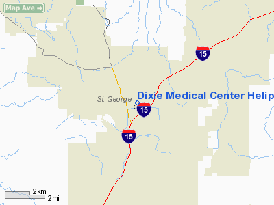
Dixie Medical Center Heliport |
Location & QuickFacts
| FAA Information Effective: | 2008-09-25 |
| Airport Identifier: | UT52 |
| Airport Status: | Operational |
| Longitude/Latitude: | 113-34-37.8430W/37-05-54.9310N
-113.577179/37.098592 (Estimated) |
| Elevation: | 2700 ft / 822.96 m (Estimated) |
| Land: | 0 acres |
| From nearest city: | 0 nautical miles S of St George, UT |
| Location: | Washington County, UT |
| Magnetic Variation: | 14E (1985) |
Owner & Manager
| Ownership: | Privately owned |
| Owner: | Dixie Regional Medical |
| Address: | 544 S 400 E
St George, UT 84770 |
| Phone number: | 435-251-1000 |
| Manager: | George Mcgee |
| Address: | 544 S 400 E
St George, UT 84770 |
| Phone number: | 435-688-4003 |
Airport Operations and Facilities
| Airport Use: | Private
MEDICAL USE. |
| Segmented Circle: | No |
| Control Tower: | No |
| Landing fee charge: | No |
| Sectional chart: | Las Vegas |
| Region: | ANM - Northwest Mountain |
| Boundary ARTCC: | ZLA - Los Angeles |
| Tie-in FSS: | CDC - Cedar City |
| FSS on Airport: | No |
| FSS Toll Free: | 1-800-WX-BRIEF |
Runway Information
Helipad H1
| Dimension: | 60 x 50 ft / 18.3 x 15.2 m |
| Surface: | CONC, |
| |
Runway H1 |
Runway |
| Traffic Pattern: | Left | Left |
|
Radio Navigation Aids
| ID |
Type |
Name |
Ch |
Freq |
Var |
Dist |
| AZC | NDB | Colorado City | | 403.00 | 13E | 28.5 nm |
| OZN | VOR/DME | St George | 035X | 109.80 | 15E | 0.9 nm |
| CDC | VOR/DME | Cedar City | 120X | 117.30 | 16E | 48.0 nm |
| MMM | VORTAC | Mormon Mesa | 090X | 114.30 | 16E | 39.0 nm |
Images and information placed above are from
http://www.airport-data.com/airport/UT52/
We thank them for the data!
| General Info
|
| Country |
United States
|
| State |
UTAH
|
| FAA ID |
UT52
|
| Latitude |
37-05-54.931N
|
| Longitude |
113-34-37.843W
|
| Elevation |
2700 feet
|
| Near City |
ST GEORGE
|
We don't guarantee the information is fresh and accurate. The data may
be wrong or outdated.
For more up-to-date information please refer to other sources.
|
|


