 |
|
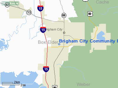
Brigham City Community Hospital Heliport |
Location & QuickFacts
| FAA Information Effective: | 2008-09-25 |
| Airport Identifier: | UT14 |
| Airport Status: | Operational |
| Longitude/Latitude: | 112-01-35.8000W/41-29-27.7600N
-112.026611/41.491044 (Estimated) |
| Elevation: | 4308 ft / 1313.08 m (Estimated) |
| Land: | 0 acres |
| From nearest city: | 0 nautical miles N of Brigham City, UT |
| Location: | Box Elder County, UT |
| Magnetic Variation: | 15E (1990) |
Owner & Manager
| Ownership: | Privately owned |
| Owner: | Brigham City Community Hosp |
| Address: | 950 South 500 West
Brigham City, UT 84302 |
| Phone number: | 435-734-9471 |
| Manager: | Mark Adams |
| Address: | 950 South 500 West
Brigham City, UT 84302 |
| Phone number: | 435-734-9471 |
Airport Operations and Facilities
| Airport Use: | Private
MEDICAL USE. |
| Segmented Circle: | No |
| Control Tower: | No |
| Sectional chart: | Salt Lake City |
| Region: | ANM - Northwest Mountain |
| Boundary ARTCC: | ZLC - Salt Lake City |
| Tie-in FSS: | CDC - Cedar City |
| FSS on Airport: | No |
| FSS Toll Free: | 1-800-WX-BRIEF |
Runway Information
Helipad H1
| Dimension: | 60 x 60 ft / 18.3 x 18.3 m |
| Surface: | CONC, |
| |
Runway H1 |
Runway |
| Traffic Pattern: | Left | Left |
|
Radio Navigation Aids
| ID |
Type |
Name |
Ch |
Freq |
Var |
Dist |
| BMC | NDB | Brigham City | | 294.00 | 16E | 2.8 nm |
| HIF | TACAN | Hill | 049X | | 14E | 22.5 nm |
| LHO | VOR/DME | Brigham City | 076X | 112.90 | 14E | 18.2 nm |
| LGU | VOR/DME | Logan | 035X | 109.80 | 16E | 22.4 nm |
| EVW | VOR/DME | Evanston | 33X | 109.60 | 13E | 46.1 nm |
| MLD | VOR/DME | Malad City | 121X | 117.40 | 17E | 46.7 nm |
| OGD | VORTAC | Ogden | 104X | 115.70 | 14E | 16.4 nm |
| TCH | VORTAC | Wasatch | 115X | 116.80 | 16E | 38.6 nm |
Remarks
- PRVDD A CLEAR 8:1 APCH/DEP PATH ESTAB/MNTND & EXISTING OBSTN ARE LGTD WITH STEADY BURNING DUAL AVIATION RED LGTS.
Images and information placed above are from
http://www.airport-data.com/airport/UT14/
We thank them for the data!
| General Info
|
| Country |
United States
|
| State |
UTAH
|
| FAA ID |
UT14
|
| Latitude |
41-29-27.760N
|
| Longitude |
112-01-35.800W
|
| Elevation |
4308 feet
|
| Near City |
BRIGHAM CITY
|
We don't guarantee the information is fresh and accurate. The data may
be wrong or outdated.
For more up-to-date information please refer to other sources.
|
|


