 |
|
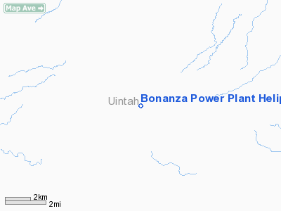
Bonanza Power Plant Heliport |
Location & QuickFacts
| FAA Information Effective: | 2008-09-25 |
| Airport Identifier: | UT58 |
| Airport Status: | Operational |
| Longitude/Latitude: | 109-17-29.4400W/40-04-55.8750N
-109.291511/40.082188 (Estimated) |
| Elevation: | 5028 ft / 1532.53 m (Estimated) |
| Land: | 1 acres |
| From nearest city: | 7 nautical miles NW of Bonanza, UT |
| Location: | Uintah County, UT |
| Magnetic Variation: | 13E (1986) |
Owner & Manager
| Ownership: | Privately owned |
| Owner: | Deseret G & T Cooperative |
| Address: | 8722 South 300 West
Sandy, UT 84070 |
| Phone number: | 801-566-1238 |
| Manager: | Merrill J. Millett |
| Address: | 8722 South 300 West
Sandy, UT 84070 |
| Phone number: | 801-789-9000 |
Airport Operations and Facilities
| Airport Use: | Private |
| Wind indicator: | Yes |
| Segmented Circle: | No |
| Control Tower: | No |
| Sectional chart: | Salt Lake City |
| Region: | ANM - Northwest Mountain |
| Boundary ARTCC: | ZLC - Salt Lake City |
| Tie-in FSS: | CDC - Cedar City |
| FSS on Airport: | No |
| FSS Toll Free: | 1-800-WX-BRIEF |
Runway Information
Helipad H1
| Dimension: | 50 x 50 ft / 15.2 x 15.2 m |
| Surface: | ASPH, |
| |
Runway H1 |
Runway |
| Traffic Pattern: | Left | Left |
|
Radio Navigation Aids
| ID |
Type |
Name |
Ch |
Freq |
Var |
Dist |
| VEL | VOR/DME | Vernal | 019X | 108.20 | 15E | 20.1 nm |
| MTU | VORTAC | Myton | 074X | 112.70 | 14E | 38.6 nm |
Images and information placed above are from
http://www.airport-data.com/airport/UT58/
We thank them for the data!
| General Info
|
| Country |
United States
|
| State |
UTAH
|
| FAA ID |
UT58
|
| Latitude |
40-04-55.875N
|
| Longitude |
109-17-29.440W
|
| Elevation |
5028 feet
|
| Near City |
BONANZA
|
We don't guarantee the information is fresh and accurate. The data may
be wrong or outdated.
For more up-to-date information please refer to other sources.
|
|


