 |
|
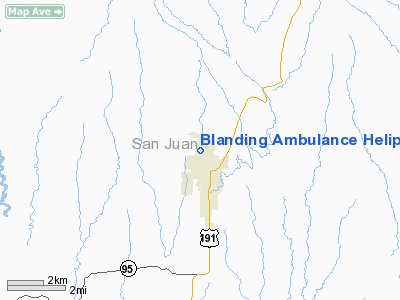
Blanding Ambulance Heliport |
Location & QuickFacts
| FAA Information Effective: | 2008-09-25 |
| Airport Identifier: | UT81 |
| Airport Status: | Operational |
| Longitude/Latitude: | 109-29-02.4300W/37-38-07.9900N
-109.484008/37.635553 (Estimated) |
| Elevation: | 5900 ft / 1798.32 m (Estimated) |
| Land: | 0 acres |
| From nearest city: | 0 nautical miles S of Blanding, UT |
| Location: | San Juan County, UT |
| Magnetic Variation: | 12E (1995) |
Owner & Manager
| Ownership: | Privately owned |
| Owner: | San Juan Health Care Services |
| Address: | 857 North 300 West (35-12)
Blanding, UT 84511 |
| Phone number: | 801-678-2034 |
| Manager: | Sandra Asbury |
| Address: | 857 North 300 West (35-12)
Blanding, UT 84511 |
| Phone number: | 801-678-2034 |
Airport Operations and Facilities
| Airport Use: | Private |
| Wind indicator: | Yes |
| Segmented Circle: | No |
| Control Tower: | No |
| Sectional chart: | Denver |
| Region: | ANM - Northwest Mountain |
| Boundary ARTCC: | ZDV - Denver |
| Tie-in FSS: | CDC - Cedar City |
| FSS Toll Free: | 1-800-WX-BRIEF |
Runway Information
Helipad H1
| Dimension: | 50 x 50 ft / 15.2 x 15.2 m |
| Surface: | CONC, Good Condition |
| |
Runway H1 |
Runway |
| Traffic Pattern: | Left | Left |
|
Radio Navigation Aids
| ID |
Type |
Name |
Ch |
Freq |
Var |
Dist |
| CEZ | VOR/DME | Cortez | 021X | 108.40 | 14E | 46.4 nm |
| DVC | VORTAC | Dove Creek | 093X | 114.60 | 14E | 28.3 nm |
Remarks
- 37 FT POWER LINES 200 FT EAST & WEST, 20 FT BLDG 60 FT SOUTH, 30 FT TREES 60 FT NORTH OF HELIPAD.
Images and information placed above are from
http://www.airport-data.com/airport/UT81/
We thank them for the data!
| General Info
|
| Country |
United States
|
| State |
UTAH
|
| FAA ID |
UT81
|
| Latitude |
37-38-07.990N
|
| Longitude |
109-29-02.430W
|
| Elevation |
5900 feet
|
| Near City |
BLANDING
|
We don't guarantee the information is fresh and accurate. The data may
be wrong or outdated.
For more up-to-date information please refer to other sources.
|
|


