 |
|
Location & QuickFacts
| FAA Information Effective: | 2008-09-25 |
| Airport Identifier: | UT82 |
| Airport Status: | Operational |
| Longitude/Latitude: | 113-38-44.8740W/37-42-35.9010N
-113.645798/37.709973 (Estimated) |
| Elevation: | 5181 ft / 1579.17 m (Surveyed) |
| Land: | 59 acres |
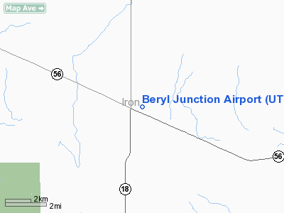
| From nearest city: | 0 nautical miles E of Beryl, UT |
| Location: | Iron County, UT |
| Magnetic Variation: | 14E (1985) |
Owner & Manager
| Ownership: | Privately owned |
| Owner: | Swest Properties, Llc. |
| Address: | 1805 N Carson St #470
Carson City, NV 89701 |
| Phone number: | 775-442-5502 |
| Manager: | William Mcclellan |
| Address: | 1805 N Carson St #470
Carson City, NV 89701 |
| Phone number: | 775-442-5502 |
Airport Operations and Facilities
| Airport Use: | Private |
| Wind indicator: | Yes |
| Segmented Circle: | No |
| Control Tower: | No |
| Landing fee charge: | No |
| Sectional chart: | Las Vegas |
| Region: | ANM - Northwest Mountain |
| Boundary ARTCC: | ZLC - Salt Lake City |
| Tie-in FSS: | CDC - Cedar City |
| FSS on Airport: | No |
| FSS Toll Free: | 1-800-WX-BRIEF |
Airport Services
| Airframe Repair: | NONE |
| Power Plant Repair: | NONE |
| Bottled Oxygen: | NONE |
| Bulk Oxygen: | NONE |
Runway Information
Runway 18/36
| Dimension: | 4910 x 75 ft / 1496.6 x 22.9 m |
| Surface: | GRVL, |
| |
Runway 18 |
Runway 36 |
| Traffic Pattern: | Left | Left |
| Obstruction: | 15 ft road, 65.0 ft from runway, 4:1 slope to clear | 45 ft pline, 1120.0 ft from runway, 24:1 slope to clear |
|
Radio Navigation Aids
| ID |
Type |
Name |
Ch |
Freq |
Var |
Dist |
| CDC | VOR/DME | Cedar City | 120X | 117.30 | 16E | 27.8 nm |
| OZN | VOR/DME | St George | 035X | 109.80 | 15E | 37.5 nm |
| ILC | VORTAC | Wilson Creek | 110X | 116.30 | 16E | 48.1 nm |
| MLF | VORTAC | Milford | 058X | 112.10 | 16E | 49.2 nm |
Remarks
- RWY END MARKERS BROKEN SOUTH END. OCCASIONAL FARM VEHICLES ON RWY.
Images and information placed above are from
http://www.airport-data.com/airport/UT82/
We thank them for the data!
| General Info
|
| Country |
United States
|
| State |
UTAH
|
| FAA ID |
UT82
|
| Latitude |
37-42-35.901N
|
| Longitude |
113-38-44.874W
|
| Elevation |
5181 feet
|
| Near City |
BERYL
|
We don't guarantee the information is fresh and accurate. The data may
be wrong or outdated.
For more up-to-date information please refer to other sources.
|
|


