 |
|
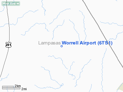
Location & QuickFacts
| FAA Information Effective: | 2008-09-25 |
| Airport Identifier: | 6TS1 |
| Airport Status: | Operational |
| Longitude/Latitude: | 098-04-23.1000W/31-10-40.6110N
-98.073083/31.177948 (Estimated) |
| Elevation: | 960 ft / 292.61 m (Estimated) |
| Land: | 0 acres |
| From nearest city: | 7 nautical miles NW of Kempner, TX |
| Location: | Lampasas County, TX |
| Magnetic Variation: | 07E (1985) |
Owner & Manager
| Ownership: | Privately owned |
| Owner: | Bill & Judy Worrell |
| Address: | 5762 Fm 1960 East
Humble, TX 77346 |
| Phone number: | 281-852-3121 |
| Manager: | Bill & Judy Worrell |
| Address: | 5762 Fm 1960 East
Humble, TX 77346 |
| Phone number: | 281-852-3121 |
Airport Operations and Facilities
| Airport Use: | Private |
| Wind indicator: | Yes |
| Segmented Circle: | No |
| Control Tower: | No |
| Sectional chart: | San Antonio |
| Region: | ASW - Southwest |
| Boundary ARTCC: | ZHU - Houston |
| Tie-in FSS: | SJT - San Angelo |
| FSS on Airport: | No |
| FSS Toll Free: | 1-800-WX-BRIEF |
Runway Information
Runway 14/32
| Dimension: | 2000 x 30 ft / 609.6 x 9.1 m |
| Surface: | TURF, |
| |
Runway 14 |
Runway 32 |
| Traffic Pattern: | Left | Left |
|
Radio Navigation Aids
| ID |
Type |
Name |
Ch |
Freq |
Var |
Dist |
| GR | NDB | Starn | | 323.00 | 07E | 10.0 nm |
| HLR | NDB | Hood | | 347.00 | 07E | 18.8 nm |
| IL | NDB | Iresh | | 278.00 | 07E | 20.9 nm |
| MNZ | NDB | Hamilton | | 251.00 | 07E | 26.9 nm |
| BMQ | NDB | Burnet | | 341.00 | 07E | 27.6 nm |
| GUO | NDB | Georgetown | | 332.00 | 06E | 35.9 nm |
| MFS | NDB | Horseshoe Bay Resort | | 403.00 | 07E | 42.0 nm |
| GRK | VOR/DME | Gray | 055X | 111.80 | 07E | 15.9 nm |
| TPL | VOR/DME | Temple | 041X | 110.40 | 09E | 33.4 nm |
| LZZ | VORTAC | Lampasas | 072X | 112.50 | 08E | 3.6 nm |
| LLO | VORTAC | Llano | 019X | 108.20 | 08E | 43.4 nm |
Images and information placed above are from
http://www.airport-data.com/airport/6TS1/
We thank them for the data!
| General Info
|
| Country |
United States
|
| State |
TEXAS
|
| FAA ID |
6TS1
|
| Latitude |
31-10-40.611N
|
| Longitude |
098-04-23.100W
|
| Elevation |
960 feet
|
| Near City |
KEMPNER
|
We don't guarantee the information is fresh and accurate. The data may
be wrong or outdated.
For more up-to-date information please refer to other sources.
|
|


