 |
|
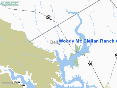
Woody Mc Clellan Ranch Airport |
Location & QuickFacts
| FAA Information Effective: | 2008-09-25 |
| Airport Identifier: | 19TX |
| Airport Status: | Operational |
| Longitude/Latitude: | 097-30-51.0500W/31-14-17.6220N
-97.514181/31.238228 (Estimated) |
| Elevation: | 690 ft / 210.31 m (Estimated) |
| Land: | 0 acres |
| From nearest city: | 12 nautical miles NW of Temple, TX |
| Location: | Bell County, TX |
| Magnetic Variation: | 07E (1985) |
Owner & Manager
| Ownership: | Privately owned |
| Owner: | Woody Mc Clellan |
| Address: | 12000 Westheimer, Suite 218
Houston, TX 77077 |
| Phone number: | 713-558-2288 |
| Manager: | Woody Mc Clellan |
| Address: | 12000 Westheimer, Suite 218
Houston, TX 77077 |
| Phone number: | 713-558-2288 |
Airport Operations and Facilities
| Airport Use: | Private |
| Wind indicator: | Yes |
| Segmented Circle: | No |
| Control Tower: | No |
| Landing fee charge: | No |
| Sectional chart: | San Antonio |
| Region: | ASW - Southwest |
| Boundary ARTCC: | ZFW - Fort Worth |
| Tie-in FSS: | SJT - San Angelo |
| FSS on Airport: | No |
| FSS Toll Free: | 1-800-WX-BRIEF |
Runway Information
Runway 17/35
| Dimension: | 3200 x 80 ft / 975.4 x 24.4 m |
| Surface: | TURF, |
| |
Runway 17 |
Runway 35 |
| Traffic Pattern: | Left | Left |
|
Radio Navigation Aids
| ID |
Type |
Name |
Ch |
Freq |
Var |
Dist |
| HLR | NDB | Hood | | 347.00 | 07E | 12.1 nm |
| IL | NDB | Iresh | | 278.00 | 07E | 16.3 nm |
| GR | NDB | Starn | | 323.00 | 07E | 19.2 nm |
| ROB | NDB | Robinson | | 400.00 | 07E | 27.8 nm |
| GUO | NDB | Georgetown | | 332.00 | 06E | 34.4 nm |
| MNZ | NDB | Hamilton | | 251.00 | 07E | 39.8 nm |
| BMQ | NDB | Burnet | | 341.00 | 07E | 47.8 nm |
| TPL | VOR/DME | Temple | 041X | 110.40 | 09E | 4.9 nm |
| GRK | VOR/DME | Gray | 055X | 111.80 | 07E | 19.7 nm |
| ACT | VORTAC | Waco | 100X | 115.30 | 09E | 28.4 nm |
| LZZ | VORTAC | Lampasas | 072X | 112.50 | 08E | 32.4 nm |
Remarks
Images and information placed above are from
http://www.airport-data.com/airport/19TX/
We thank them for the data!
| General Info
|
| Country |
United States
|
| State |
TEXAS
|
| FAA ID |
19TX
|
| Latitude |
31-14-17.622N
|
| Longitude |
097-30-51.050W
|
| Elevation |
690 feet
|
| Near City |
TEMPLE
|
We don't guarantee the information is fresh and accurate. The data may
be wrong or outdated.
For more up-to-date information please refer to other sources.
|
|


