 |
|
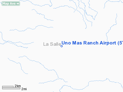
Location & QuickFacts
| FAA Information Effective: | 2008-09-25 |
| Airport Identifier: | 5TS1 |
| Airport Status: | Operational |
| Longitude/Latitude: | 099-08-04.1020W/28-12-21.0060N
-99.134473/28.205835 (Estimated) |
| Elevation: | 380 ft / 115.82 m (Estimated) |
| Land: | 28 acres |
| From nearest city: | 17 nautical miles SE of Cotulla, TX |
| Location: | La Salle County, TX |
| Magnetic Variation: | 07E (1985) |
Owner & Manager
| Ownership: | Privately owned |
| Owner: | Eddie Wall |
| Address: | 202 Fireside Circle
College Station, TX 77840 |
| Phone number: | 979-846-2048 |
| Address: |
|
Airport Operations and Facilities
| Airport Use: | Private |
| Wind indicator: | Yes |
| Segmented Circle: | No |
| Control Tower: | No |
| Sectional chart: | San Antonio |
| Region: | ASW - Southwest |
| Boundary ARTCC: | ZHU - Houston |
| Tie-in FSS: | SJT - San Angelo |
| FSS on Airport: | No |
| FSS Toll Free: | 1-800-WX-BRIEF |
Runway Information
Runway 12/30
| Dimension: | 4500 x 50 ft / 1371.6 x 15.2 m |
| Surface: | ASPH, |
| |
Runway 12 |
Runway 30 |
| Traffic Pattern: | Left | Left |
| Obstruction: | 8 ft fence, 500.0 ft from runway | 8 ft fence, 1000.0 ft from runway |
|
Radio Navigation Aids
| ID |
Type |
Name |
Ch |
Freq |
Var |
Dist |
| DMD | NDB | Dimmit County | | 343.00 | 07E | 41.3 nm |
| COT | VORTAC | Cotulla | 105X | 115.80 | 09E | 15.4 nm |
| LRD | VORTAC | Laredo | 121X | 117.40 | 09E | 46.2 nm |
Images and information placed above are from
http://www.airport-data.com/airport/5TS1/
We thank them for the data!
| General Info
|
| Country |
United States
|
| State |
TEXAS
|
| FAA ID |
5TS1
|
| Latitude |
28-12-21.006N
|
| Longitude |
099-08-04.102W
|
| Elevation |
380 feet
|
| Near City |
COTULLA
|
We don't guarantee the information is fresh and accurate. The data may
be wrong or outdated.
For more up-to-date information please refer to other sources.
|
|


