 |
|
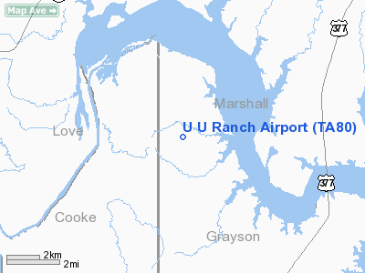
Location & QuickFacts
| FAA Information Effective: | 2008-09-25 |
| Airport Identifier: | TA80 |
| Airport Status: | Operational |
| Longitude/Latitude: | 096-55-41.0220W/33-53-35.3660N
-96.928062/33.893157 (Estimated) |
| Elevation: | 740 ft / 225.55 m (Estimated) |
| Land: | 0 acres |
| From nearest city: | 16 nautical miles N of Whitesboro, TX |
| Location: | Grayson County, TX |
| Magnetic Variation: | 06E (1985) |
Owner & Manager
| Ownership: | Privately owned |
| Owner: | Thomas Welfelt |
| Address: | 4530 Glen Curtiss
Dallas, TX 75248 |
| Phone number: | 214-233-4900 |
| Address: |
|
| Phone number: | 214-248-8142 |
Airport Operations and Facilities
| Airport Use: | Private |
| Wind indicator: | Yes |
| Segmented Circle: | No |
| Control Tower: | No |
| Landing fee charge: | No |
| Sectional chart: | Dallas-ft Worth |
| Region: | ASW - Southwest |
| Boundary ARTCC: | ZFW - Fort Worth |
| Tie-in FSS: | FTW - Fort Worth |
| FSS on Airport: | No |
| FSS Phone: | 817-541-3474 |
| FSS Toll Free: | 1-800-WX-BRIEF |
Runway Information
Runway 12/30
| Dimension: | 3900 x 60 ft / 1188.7 x 18.3 m |
| Surface: | DIRT, |
| |
Runway 12 |
Runway 30 |
| Traffic Pattern: | Left | Left |
| Obstruction: | | 20 ft pline, 50.0 ft from runway |
|
Radio Navigation Aids
| ID |
Type |
Name |
Ch |
Freq |
Var |
Dist |
| DNI | NDB | Denison | | 341.00 | 06E | 13.5 nm |
| GLE | NDB | Gainesville | | 330.00 | 06E | 17.1 nm |
| AUV | NDB | Arbuckle | | 284.00 | 07E | 18.3 nm |
| DUA | NDB | Durant | | 359.00 | 05E | 26.5 nm |
| HJM | NDB | Rayburn | | 415.00 | 06E | 41.2 nm |
| GMZ | NDB | Grindstone Mountain | | 356.00 | 07E | 45.7 nm |
| URH | VOR/DME | Texoma | 090X | 114.30 | 05E | 26.9 nm |
| ADM | VORTAC | Ardmore | 114X | 116.70 | 06E | 22.6 nm |
| BYP | VORTAC | Bonham | 093X | 114.60 | 06E | 40.8 nm |
| UKW | VORTAC | Bowie | 071X | 112.40 | 06E | 49.6 nm |
Remarks
- PRVDD COM AGRMT WITH COMET ARPT IS MAINTD & NO COML FLTS ARE CONDUCTED.
Images and information placed above are from
http://www.airport-data.com/airport/TA80/
We thank them for the data!
| General Info
|
| Country |
United States
|
| State |
TEXAS
|
| FAA ID |
TA80
|
| Latitude |
33-53-35.366N
|
| Longitude |
096-55-41.022W
|
| Elevation |
740 feet
|
| Near City |
WHITESBORO
|
We don't guarantee the information is fresh and accurate. The data may
be wrong or outdated.
For more up-to-date information please refer to other sources.
|
|


