 |
|
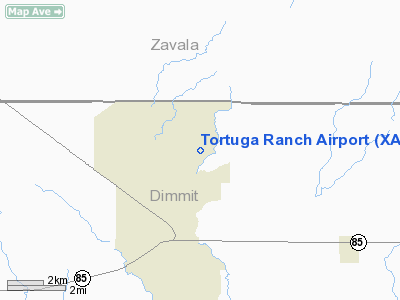
Location & QuickFacts
| FAA Information Effective: | 2008-09-25 |
| Airport Identifier: | XA93 |
| Airport Status: | Operational |
| Longitude/Latitude: | 099-39-15.7100W/28-37-09.5600N
-99.654364/28.619322 (Estimated) |
| Elevation: | 550 ft / 167.64 m (Estimated) |
| Land: | 34 acres |
| From nearest city: | 4 nautical miles N of Brundage, TX |
| Location: | Dimmit County, TX |
| Magnetic Variation: | () |
Owner & Manager
| Ownership: | Privately owned |
| Owner: | Jetero Investment Corp |
| Address: | 7500 San Felipe, Suite 750
Houston, TX 77036 |
| Phone number: | 713-785-8200 |
| Manager: | Bill Sears |
| Address: | 7500 San Felipe, Suite 750
Houston, TX 77036 |
| Phone number: | 713-302-4905 |
Airport Operations and Facilities
| Airport Use: | Private |
| Wind indicator: | Yes |
| Control Tower: | No |
| Lighting Schedule: | PHONE REQ
FOR LIRL RY 17/35 CALL 713-302-4905. |
| Sectional chart: | San Antonio |
| Region: | ASW - Southwest |
| Boundary ARTCC: | ZHU - Houston |
| Tie-in FSS: | SJT - San Angelo |
| FSS Toll Free: | 1-800-WX-BRIEF |
Runway Information
Runway 17/35
| Dimension: | 4700 x 60 ft / 1432.6 x 18.3 m |
| Surface: | ASPH, |
| Edge Lights: | Low |
| |
Runway 17 |
Runway 35 |
| Traffic Pattern: | Left | Left |
| Markings: | Basic, | Basic, |
| Obstruction: | 30 ft bldg, 300.0 ft from runway | |
|
Radio Navigation Aids
| ID |
Type |
Name |
Ch |
Freq |
Var |
Dist |
| DMD | NDB | Dimmit County | | 343.00 | 07E | 10.8 nm |
| LKX | NDB | La Pryor | | 223.00 | 09E | 21.5 nm |
| CPZ | NDB | Chaparrosa Ranch | | 385.00 | 10E | 25.5 nm |
| UVA | NDB | Uvalde | | 281.00 | 07E | 33.8 nm |
| HHH | NDB | Devine | | 359.00 | 07E | 48.9 nm |
| COT | VORTAC | Cotulla | 105X | 115.80 | 09E | 29.8 nm |
Images and information placed above are from
http://www.airport-data.com/airport/XA93/
We thank them for the data!
| General Info
|
| Country |
United States
|
| State |
TEXAS
|
| FAA ID |
XA93
|
| Latitude |
28.619322
28° 37' 09.56" N
|
| Longitude |
-99.654364
099° 39' 15.71" W
|
| Elevation |
550 feet
168 meters
|
| Magnetic Variation |
006° E (08/06)
|
| Operating Agency |
PRIVATE
|
We don't guarantee the information is fresh and accurate. The data may
be wrong or outdated.
For more up-to-date information please refer to other sources.
|
|


