 |
|
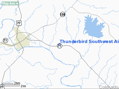
Thunderbird Southwest Airport |
Location & QuickFacts
| FAA Information Effective: | 2008-09-25 |
| Airport Identifier: | 88TE |
| Airport Status: | Operational |
| Longitude/Latitude: | 096-47-57.0000W/29-54-06.0000N
-96.799167/29.901667 (Estimated) |
| Elevation: | 385 ft / 117.35 m (Estimated) |
| Land: | 0 acres |
| From nearest city: | 5 nautical miles W of La Grange, TX |
| Location: | Fayette County, TX |
| Magnetic Variation: | 05E (2000) |
Owner & Manager
| Ownership: | Privately owned |
| Owner: | Thunderbird Southwest |
| Address: | 4635 E. Hwy 71
La Grange, TX 78945 |
| Phone number: | 979-249-4200 |
| Manager: | L. Herrington |
| Address: | 4635 E. Hwy 71
La Grange, TX 78945 |
| Phone number: | 979-249-4200 |
Airport Operations and Facilities
| Airport Use: | Private |
| Wind indicator: | Yes |
| Segmented Circle: | No |
| Control Tower: | No |
| Lighting Schedule: | PHONE REQ
FOR ROTG BCN CALL 979-249-4200. |
| Beacon Color: | Clear-Green (lighted land airport) |
| Sectional chart: | Houston |
| Region: | ASW - Southwest |
| Boundary ARTCC: | ZHU - Houston |
| Tie-in FSS: | CXO - Montgomery County |
| FSS Toll Free: | 1-800-WX-BRIEF |
Runway Information
Runway 16/34
| Dimension: | 2000 x 60 ft / 609.6 x 18.3 m |
| Surface: | TURF, |
| |
Runway 16 |
Runway 34 |
| Traffic Pattern: | Left | Left |
| Obstruction: | 40 ft trees | 25 ft pline |
|
Radio Navigation Aids
| ID |
Type |
Name |
Ch |
Freq |
Var |
Dist |
| GYB | NDB | Lee County | | 385.00 | 07E | 18.6 nm |
| BNH | NDB | Brenham | | 362.00 | 06E | 29.4 nm |
| OKT | NDB | Yoakum | | 350.00 | 06E | 39.6 nm |
| ELA | VOR/DME | Eagle Lake | 111X | 116.40 | 08E | 29.0 nm |
| IDU | VORTAC | Industry | 039X | 110.20 | 08E | 12.8 nm |
| TNV | VORTAC | Navasota | 106X | 115.90 | 08E | 45.0 nm |
| CLL | VORTAC | College Station | 080X | 113.30 | 08E | 46.6 nm |
| CWK | VORTAC | Centex | 075X | 112.80 | 06E | 47.6 nm |
Images and information placed above are from
http://www.airport-data.com/airport/88TE/
We thank them for the data!
| General Info
|
| Country |
United States
|
| State |
TEXAS
|
| FAA ID |
88TE
|
| Latitude |
29-54-06.000N
|
| Longitude |
096-47-57.000W
|
| Elevation |
385 feet
|
| Near City |
LA GRANGE
|
We don't guarantee the information is fresh and accurate. The data may
be wrong or outdated.
For more up-to-date information please refer to other sources.
|
|


