 |
|
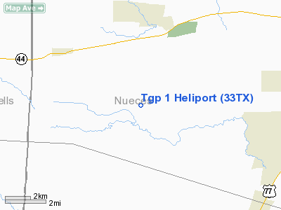
Location & QuickFacts
| FAA Information Effective: | 2008-09-25 |
| Airport Identifier: | 33TX |
| Airport Status: | Operational |
| Longitude/Latitude: | 097-50-46.9930W/27-44-40.0970N
-97.846387/27.744471 (Estimated) |
| Elevation: | 108 ft / 32.92 m (Estimated) |
| Land: | 0 acres |
| From nearest city: | 4 nautical miles SE of Agua Dulce, TX |
| Location: | Nueces County, TX |
| Magnetic Variation: | 07E (1990) |
Owner & Manager
| Ownership: | Privately owned |
| Owner: | Tennessee Gas Pipeline Co. |
| Address: | 15415 Kathy Freeway Suite 100
Houston, TX 77094 |
| Phone number: | 713-492-8900 |
| Manager: | P.e. Gray |
| Address: | 16951 Jfr Blvd
Houston, TX 77932 |
| Phone number: | 713-578-4813 |
Airport Operations and Facilities
| Airport Use: | Private |
| Segmented Circle: | No |
| Control Tower: | No |
| Sectional chart: | Brownsville |
| Region: | ASW - Southwest |
| Boundary ARTCC: | ZHU - Houston |
| Tie-in FSS: | SJT - San Angelo |
| FSS on Airport: | No |
| FSS Toll Free: | 1-800-WX-BRIEF |
Runway Information
Helipad H1
| Dimension: | 20 x 20 ft / 6.1 x 6.1 m |
| Surface: | CONC, |
| |
Runway H1 |
Runway |
| Traffic Pattern: | Left | Left |
|
Radio Navigation Aids
| ID |
Type |
Name |
Ch |
Freq |
Var |
Dist |
| TKB | NDB | Kleberg County | | 347.00 | 06E | 15.2 nm |
| BKS | NDB | Brooks County | | 353.00 | 06E | 35.5 nm |
| BEA | NDB | Beeville | | 284.00 | 07E | 37.6 nm |
| MNO | NDB | Mellon Ranch | | 375.00 | 06E | 46.8 nm |
| RKP | NDB | Rockport | | 391.00 | 06E | 47.3 nm |
| NOG | TACAN | Orange Grove | 063X | | 09E | 13.8 nm |
| NQI | TACAN | Kingsville | 125X | | 09E | 14.9 nm |
| ALI | VOR | Alice | | 114.50 | 06E | 9.3 nm |
| CRP | VORTAC | Corpus Christi | 102X | 115.50 | 09E | 23.4 nm |
| NGP | VORTAC | Truax | 087X | 114.00 | 06E | 29.6 nm |
| THX | VORTAC | Three Rivers | 051X | 111.40 | 08E | 48.5 nm |
Images and information placed above are from
http://www.airport-data.com/airport/33TX/
We thank them for the data!
| General Info
|
| Country |
United States
|
| State |
TEXAS
|
| FAA ID |
33TX
|
| Latitude |
27-44-40.097N
|
| Longitude |
097-50-46.993W
|
| Elevation |
108 feet
|
| Near City |
AGUA DULCE
|
We don't guarantee the information is fresh and accurate. The data may
be wrong or outdated.
For more up-to-date information please refer to other sources.
|
|


