 |
|
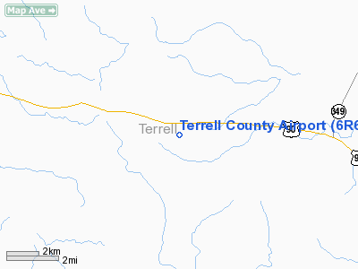
Location & QuickFacts
| FAA Information Effective: | 2008-09-25 |
| Airport Identifier: | 6R6 |
| Airport Status: | Operational |
| Longitude/Latitude: | 102-12-46.4920W/30-02-45.6850N
-102.212914/30.046024 (Estimated) |
| Elevation: | 2322 ft / 707.75 m (Estimated) |
| Land: | 644 acres |
| From nearest city: | 5 nautical miles W of Dryden, TX |
| Location: | Terrell County, TX |
| Magnetic Variation: | 09E (1985) |
Owner & Manager
| Ownership: | Publicly owned |
| Owner: | Terrell County |
| Address: | Terrell Co Courthouse
Sanderson, TX 79848 |
| Phone number: | 432-345-2421 |
| Manager: | C D Curry |
| Address: | Po Box 350
Sanderson, TX 79848 |
| Phone number: | 432-345-6731 |
Airport Operations and Facilities
| Airport Use: | Open to public |
| Wind indicator: | Yes |
| Segmented Circle: | Yes |
| Control Tower: | No |
| Lighting Schedule: | RDO-CTL
ACTVT ROTG BCN - CTAF. |
| Beacon Color: | Clear-Green (lighted land airport) |
| Landing fee charge: | No |
| Sectional chart: | San Antonio |
| Region: | ASW - Southwest |
| Boundary ARTCC: | ZHU - Houston |
| Tie-in FSS: | SJT - San Angelo |
| FSS on Airport: | No |
| FSS Toll Free: | 1-800-WX-BRIEF |
| NOTAMs Facility: | SJT (NOTAM-d service avaliable) |
| Federal Agreements: | 3 |
Airport Communications
Airport Services
| Fuel available: | 100LL
FOR FUEL AFT HRS CALL 432-345-6731. |
| Airframe Repair: | NONE |
| Power Plant Repair: | NONE |
Runway Information
Runway 04/22
| Dimension: | 4525 x 75 ft / 1379.2 x 22.9 m |
| Surface: | ASPH, |
| Weight Limit: | Single wheel: 30000 lbs. |
| Edge Lights: | Low |
| |
Runway 04 |
Runway 22 |
| Traffic Pattern: | Left | Left |
| Markings: | Basic, Good Condition | Basic, Good Condition |
| Obstruction: | 5 ft brush, 293.0 ft from runway, 18:1 slope to clear | 8 ft brush, 250.0 ft from runway, 120 ft left of centerline, 6:1 slope to clear |
|
Runway 13/31
| Dimension: | 4525 x 75 ft / 1379.2 x 22.9 m |
| Surface: | ASPH, |
| Weight Limit: | Single wheel: 30000 lbs. |
| Edge Lights: | Low |
| |
Runway 13 |
Runway 31 |
| Traffic Pattern: | Left | Left |
| Markings: | Basic, Good Condition | Basic, Good Condition |
| Obstruction: | 5 ft brush, 360.0 ft from runway, 32:1 slope to clear | 5 ft brush, 315.0 ft from runway, 23:1 slope to clear |
|
Radio Navigation Aids
| ID |
Type |
Name |
Ch |
Freq |
Var |
Dist |
Images and information placed above are from
http://www.airport-data.com/airport/6R6/
We thank them for the data!
| General Info
|
| Country |
United States
|
| State |
TEXAS
|
| FAA ID |
6R6
|
| Latitude |
30-02-45.685N
|
| Longitude |
102-12-46.492W
|
| Elevation |
2322 feet
|
| Near City |
DRYDEN
|
We don't guarantee the information is fresh and accurate. The data may
be wrong or outdated.
For more up-to-date information please refer to other sources.
|
|


