 |
|
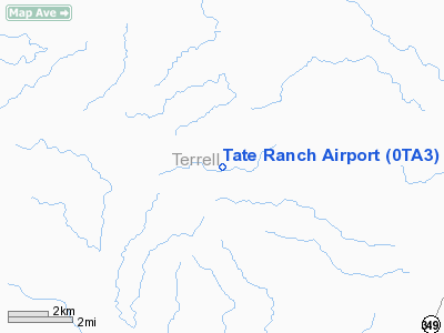
Location & QuickFacts
| FAA Information Effective: | 2008-09-25 |
| Airport Identifier: | 0TA3 |
| Airport Status: | Operational |
| Longitude/Latitude: | 102-08-17.4860W/30-18-15.6550N
-102.138191/30.304349 (Estimated) |
| Elevation: | 2650 ft / 807.72 m (Estimated) |
| Land: | 0 acres |
| From nearest city: | 20 nautical miles NW of Dryden, TX |
| Location: | Terrell County, TX |
| Magnetic Variation: | 09E (1990) |
Owner & Manager
| Ownership: | Privately owned |
| Owner: | William D. Tate |
| Address: | 422 Blue Bonnett
Grapevine, TX 76051 |
| Phone number: | 817-281-6595 |
| Manager: | Ricky Collins |
| Address: | 7709 Briarwood
Ft. Worth, TX 76180 |
| Phone number: | 817-281-1101 |
Airport Operations and Facilities
| Airport Use: | Private |
| Wind indicator: | Yes |
| Segmented Circle: | No |
| Control Tower: | No |
| Sectional chart: | San Antonio |
| Region: | ASW - Southwest |
| Boundary ARTCC: | ZHU - Houston |
| Tie-in FSS: | SJT - San Angelo |
| FSS on Airport: | No |
| FSS Toll Free: | 1-800-WX-BRIEF |
Runway Information
Runway 07/25
| Dimension: | 2500 x 130 ft / 762.0 x 39.6 m |
| Surface: | TURF, |
| |
Runway 07 |
Runway 25 |
| Traffic Pattern: | Left | Left |
|
Runway 14/32
| Dimension: | 1500 x 100 ft / 457.2 x 30.5 m |
| Surface: | TURF, |
| |
Runway 14 |
Runway 32 |
| Traffic Pattern: | Left | Left |
|
Radio Navigation Aids
| ID |
Type |
Name |
Ch |
Freq |
Var |
Dist |
Images and information placed above are from
http://www.airport-data.com/airport/0TA3/
We thank them for the data!
| General Info
|
| Country |
United States
|
| State |
TEXAS
|
| FAA ID |
0TA3
|
| Latitude |
30-18-15.655N
|
| Longitude |
102-08-17.486W
|
| Elevation |
2650 feet
|
| Near City |
DRYDEN
|
We don't guarantee the information is fresh and accurate. The data may
be wrong or outdated.
For more up-to-date information please refer to other sources.
|
|


