 |
|
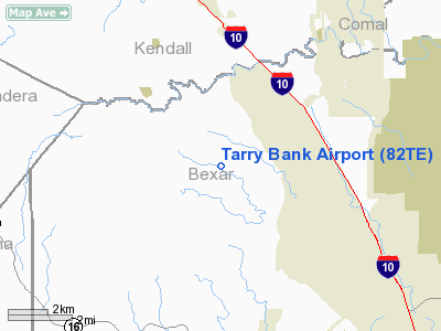
Location & QuickFacts
| FAA Information Effective: | 2008-09-25 |
| Airport Identifier: | 82TE |
| Airport Status: | Operational |
| Longitude/Latitude: | 098-42-27.0860W/29-41-29.8040N
-98.707524/29.691612 (Estimated) |
| Elevation: | 1380 ft / 420.62 m (Estimated) |
| Land: | 0 acres |
| From nearest city: | 4 nautical miles NW of Leon Springs, TX |
| Location: | Bexar County, TX |
| Magnetic Variation: | 07E (1985) |
Owner & Manager
| Ownership: | Privately owned |
| Owner: | F.l. Guthrie C/o T.w. Pinson |
| Address: | 909 Fannin Ste 1650
Houston, TX 77010 |
| Manager: | Theo W Pinson Iii |
| Address: | 909 Fannin Ste 1650
Houston, TX 77010 |
| Phone number: | 713-759-1650 |
Airport Operations and Facilities
| Airport Use: | Private |
| Wind indicator: | No |
| Segmented Circle: | No |
| Control Tower: | No |
| Landing fee charge: | No |
| Sectional chart: | San Antonio |
| Region: | ASW - Southwest |
| Boundary ARTCC: | ZHU - Houston |
| Tie-in FSS: | SJT - San Angelo |
| FSS on Airport: | No |
| FSS Toll Free: | 1-800-WX-BRIEF |
Airport Services
| Airframe Repair: | NONE |
| Power Plant Repair: | NONE |
Runway Information
Runway 13/31
| Dimension: | 2700 x 75 ft / 823.0 x 22.9 m |
| Surface: | TURF, |
| |
Runway 13 |
Runway 31 |
| Traffic Pattern: | Left | Left |
| Obstruction: | | 60 ft trees, 50.0 ft from runway |
|
Radio Navigation Aids
| ID |
Type |
Name |
Ch |
Freq |
Var |
Dist |
| ER | NDB | Shein | | 263.00 | 08E | 20.7 nm |
| CVB | NDB | Castroville | | 338.00 | 08E | 22.1 nm |
| HMA | NDB | Hondo | | 329.00 | 08E | 30.9 nm |
| HHH | NDB | Devine | | 359.00 | 07E | 35.4 nm |
| PEZ | NDB | Pleasanton | | 275.00 | 07E | 45.4 nm |
| KSY | TACAN | Kelly | 057X | | 07E | 19.2 nm |
| DHK | TACAN | Randolph | 036X | | 09E | 24.8 nm |
| SSF | VOR | Stinson | | 108.40 | 09E | 29.5 nm |
| HDO | VOR/DME | Hondo | 31X | 109.40 | 08E | 32.1 nm |
| SAT | VORTAC | San Antonio | 115X | 116.80 | 08E | 13.2 nm |
| RND | VORTAC | Randolph | 70X | 112.30 | 09E | 24.4 nm |
| CSI | VORTAC | Center Point | 122X | 117.50 | 08E | 29.9 nm |
| STV | VORTAC | Stonewall | 085X | 113.80 | 08E | 31.0 nm |
| SAT | VOT | San Antonio Intl | | 110.40 | | 15.6 nm |
Remarks
- DRAINAGE DITCH ON E SIDE OF RWY, PARALLEL TO RWY.
- VFR WEA CONDS. TPA 800'.
Images and information placed above are from
http://www.airport-data.com/airport/82TE/
We thank them for the data!
| General Info
|
| Country |
United States
|
| State |
TEXAS
|
| FAA ID |
82TE
|
| Latitude |
29-41-29.804N
|
| Longitude |
098-42-27.086W
|
| Elevation |
1380 feet
|
| Near City |
LEON SPRINGS
|
We don't guarantee the information is fresh and accurate. The data may
be wrong or outdated.
For more up-to-date information please refer to other sources.
|
|


