 |
|
Location & QuickFacts
| FAA Information Effective: | 2008-09-25 |
| Airport Identifier: | 5TE9 |
| Airport Status: | Operational |
| Longitude/Latitude: | 105-21-31.8330W/31-10-00.4640N
-105.358842/31.166796 (Estimated) |
| Elevation: | 4512 ft / 1375.26 m (Estimated) |
| Land: | 0 acres |
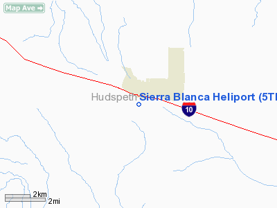
| From nearest city: | 0 nautical miles S of Sierra Blanca, TX |
| Location: | Hudspeth County, TX |
| Magnetic Variation: | 10E (1985) |
Owner & Manager
| Ownership: | Publicly owned |
| Owner: | Hudspeth Co Civil Defense |
| Address: | Box 68
Sierra Blanca, TX 79851 |
| Phone number: | 915-369-2321 |
| Manager: | Billy R. Love, Cty Judge |
| Address: | Drctr Civ Defense,box 68
Sierra Blanca, TX 79851 |
| Phone number: | 915-369-2321 |
Airport Operations and Facilities
| Airport Use: | Private |
| Wind indicator: | No |
| Segmented Circle: | No |
| Control Tower: | No |
| Landing fee charge: | No |
| Sectional chart: | El Paso |
| Region: | ASW - Southwest |
| Boundary ARTCC: | ZAB - Albuquerque |
| Tie-in FSS: | ABQ - Albuquerque |
| FSS on Airport: | No |
| FSS Toll Free: | 1-800-WX-BRIEF |
Airport Services
| Airframe Repair: | NONE |
| Power Plant Repair: | NONE |
Runway Information
Helipad H1
| Dimension: | 90 x 90 ft / 27.4 x 27.4 m |
| Surface: | DIRT, |
| |
Runway H1 |
Runway |
| Traffic Pattern: | Left | Left |
|
Radio Navigation Aids
| ID |
Type |
Name |
Ch |
Freq |
Var |
Dist |
| VHN | NDB | Van Horn | | 233.00 | 10E | 30.1 nm |
| HUP | VORTAC | Hudspeth | 097X | 115.00 | 12E | 24.2 nm |
| SFL | VORTAC | Salt Flat | 077X | 113.00 | 12E | 37.6 nm |
Images and information placed above are from
http://www.airport-data.com/airport/5TE9/
We thank them for the data!
| General Info
|
| Country |
United States
|
| State |
TEXAS
|
| FAA ID |
5TE9
|
| Latitude |
31-10-00.464N
|
| Longitude |
105-21-31.833W
|
| Elevation |
4512 feet
|
| Near City |
SIERRA BLANCA
|
We don't guarantee the information is fresh and accurate. The data may
be wrong or outdated.
For more up-to-date information please refer to other sources.
|
|


