 |
|
Location & QuickFacts
| FAA Information Effective: | 2008-09-25 |
| Airport Identifier: | XS51 |
| Airport Status: | Operational |
| Longitude/Latitude: | 098-08-41.0150W/27-24-16.1350N
-98.144726/27.404482 (Estimated) |
| Elevation: | 172 ft / 52.43 m (Estimated) |
| Land: | 0 acres |
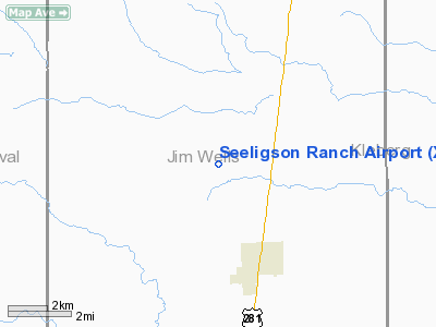
| From nearest city: | 3 nautical miles NW of Premont, TX |
| Location: | Jim Wells County, TX |
| Magnetic Variation: | 07E (1985) |
Owner & Manager
| Ownership: | Privately owned |
| Owner: | A. A. Seeligson, Jr. |
| Address: | 4040 Broadway, Suite 510
San Antonio, TX 78209 |
| Phone number: | 512-348-3309 |
| Address: |
|
| Phone number: | 512-826-5645 |
Airport Operations and Facilities
| Airport Use: | Private |
| Wind indicator: | Yes |
| Segmented Circle: | No |
| Control Tower: | No |
| Landing fee charge: | No |
| Sectional chart: | Brownsville |
| Region: | ASW - Southwest |
| Boundary ARTCC: | ZHU - Houston |
| Tie-in FSS: | SJT - San Angelo |
| FSS on Airport: | No |
| FSS Toll Free: | 1-800-WX-BRIEF |
Airport Services
| Airframe Repair: | NONE |
| Power Plant Repair: | NONE |
Runway Information
Runway 11/29
| Dimension: | 3230 x 110 ft / 984.5 x 33.5 m |
| Surface: | TURF, |
| |
Runway 11 |
Runway 29 |
| Traffic Pattern: | Left | Left |
|
Radio Navigation Aids
| ID |
Type |
Name |
Ch |
Freq |
Var |
Dist |
| BKS | NDB | Brooks County | | 353.00 | 06E | 11.9 nm |
| TKB | NDB | Kleberg County | | 347.00 | 06E | 12.5 nm |
| HBV | NDB | Hebbronville | | 266.00 | 06E | 32.1 nm |
| SNE | NDB | Santa Elena | | 260.00 | 07E | 47.3 nm |
| NQI | TACAN | Kingsville | 125X | | 09E | 19.0 nm |
| NOG | TACAN | Orange Grove | 063X | | 09E | 30.0 nm |
| ALI | VOR | Alice | | 114.50 | 06E | 21.2 nm |
| CRP | VORTAC | Corpus Christi | 102X | 115.50 | 09E | 47.8 nm |
| NGP | VORTAC | Truax | 087X | 114.00 | 06E | 48.4 nm |
Remarks
- MAY BE EXEMPT UNDER GRANDFATHER CLAUSE.
Images and information placed above are from
http://www.airport-data.com/airport/XS51/
We thank them for the data!
| General Info
|
| Country |
United States
|
| State |
TEXAS
|
| FAA ID |
XS51
|
| Latitude |
27-24-16.135N
|
| Longitude |
098-08-41.015W
|
| Elevation |
172 feet
|
| Near City |
PREMONT
|
We don't guarantee the information is fresh and accurate. The data may
be wrong or outdated.
For more up-to-date information please refer to other sources.
|
|


