 |
|
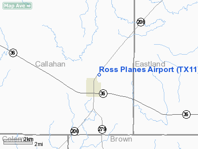
Location & QuickFacts
| FAA Information Effective: | 2008-09-25 |
| Airport Identifier: | TX11 |
| Airport Status: | Operational |
| Longitude/Latitude: | 099-09-31.4400W/32-08-24.1200N
-99.158733/32.140033 (Estimated) |
| Elevation: | 1765 ft / 537.97 m (Estimated) |
| Land: | 15 acres |
| From nearest city: | 1 nautical miles N of Cross Plains, TX |
| Location: | Callahan County, TX |
| Magnetic Variation: | 07E (2000) |
Owner & Manager
| Ownership: | Privately owned |
| Owner: | Charles E. Ross |
| Address: | 17865 Cr 421
Cross Plains, TX 76443 |
| Phone number: | 254-725-6363 |
| Manager: | Charles E. Ross |
| Address: | 17865 Cr 421
Cross Plains, TX 76443 |
| Phone number: | 254-725-6363 |
Airport Operations and Facilities
| Airport Use: | Private |
| Wind indicator: | Yes |
| Segmented Circle: | Yes |
| Control Tower: | No |
| Sectional chart: | Dallas-ft Worth |
| Region: | ASW - Southwest |
| Boundary ARTCC: | ZFW - Fort Worth |
| Tie-in FSS: | FTW - Fort Worth |
| FSS Phone: | 817-541-3474 |
| FSS Toll Free: | 1-800-WX-BRIEF |
Runway Information
Runway 18/36
| Dimension: | 1200 x 60 ft / 365.8 x 18.3 m |
| Surface: | TURF, Good Condition |
| |
Runway 18 |
Runway 36 |
| Traffic Pattern: | Left | Right |
| Obstruction: | 30 ft pline, 1000.0 ft from runway | |
|
Radio Navigation Aids
| ID |
Type |
Name |
Ch |
Freq |
Var |
Dist |
| COM | NDB | Coleman | | 385.00 | 07E | 21.9 nm |
| OIP | NDB | Old Rip | | 410.00 | 07E | 23.6 nm |
| BKD | NDB | Breckenridge | | 245.00 | 07E | 38.9 nm |
| IEW | NDB | Winters | | 396.00 | 08E | 43.8 nm |
| UBC | NDB | Ballinger | | 239.00 | 08E | 50.0 nm |
| DYS | TACAN | Dyess | 063X | | 08E | 39.2 nm |
| BWD | VOR/DME | Brownwood | 023X | 108.60 | 08E | 18.1 nm |
| TQA | VOR/DME | Tuscola | 053X | 111.60 | 10E | 34.0 nm |
| ABI | VORTAC | Abilene | 084X | 113.70 | 10E | 41.3 nm |
Images and information placed above are from
http://www.airport-data.com/airport/TX11/
We thank them for the data!
| General Info
|
| Country |
United States
|
| State |
TEXAS
|
| FAA ID |
TX11
|
| Latitude |
32-08-24.120N
|
| Longitude |
099-09-31.440W
|
| Elevation |
1760 feet
|
| Near City |
CROSS PLAINS
|
We don't guarantee the information is fresh and accurate. The data may
be wrong or outdated.
For more up-to-date information please refer to other sources.
|
|


