 |
|
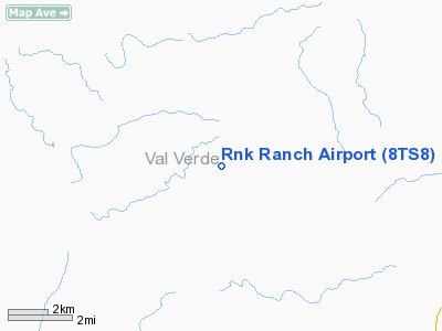
Location & QuickFacts
| FAA Information Effective: | 2008-09-25 |
| Airport Identifier: | 8TS8 |
| Airport Status: | Operational |
| Longitude/Latitude: | 100-54-46.3640W/29-55-02.7480N
-100.912879/29.917430 (Estimated) |
| Elevation: | 1945 ft / 592.84 m (Surveyed) |
| Land: | 0 acres |
| From nearest city: | 33 nautical miles N of Del Rio, TX |
| Location: | Val Verde County, TX |
| Magnetic Variation: | 08E (1985) |
Owner & Manager
| Ownership: | Privately owned |
| Address: |
|
| Manager: | Ron Kuhlmann |
| Address: | 17715 Carelia
Spring, TX 77373 |
Airport Operations and Facilities
| Airport Use: | Private |
| Wind indicator: | Yes |
| Segmented Circle: | No |
| Control Tower: | No |
| Landing fee charge: | No |
| Sectional chart: | San Antonio |
| Region: | ASW - Southwest |
| Boundary ARTCC: | ZHU - Houston |
| Tie-in FSS: | SJT - San Angelo |
| FSS on Airport: | No |
| FSS Toll Free: | 1-800-WX-BRIEF |
Airport Services
| Airframe Repair: | NONE |
| Power Plant Repair: | NONE |
Runway Information
Runway 17/35
| Dimension: | 4400 x 100 ft / 1341.1 x 30.5 m |
| Surface: | GRAVEL, |
| |
Runway 17 |
Runway 35 |
| Traffic Pattern: | Left | Left |
|
Radio Navigation Aids
| ID |
Type |
Name |
Ch |
Freq |
Var |
Dist |
| SOA | NDB | Sonora | | 371.00 | 08E | 42.3 nm |
| BRX | NDB | La Fonda Ranch | | 269.00 | 09E | 45.2 nm |
| RSG | VORTAC | Rocksprings | 049X | 111.20 | 10E | 32.5 nm |
| DLF | VORTAC | Laughlin | 091X | 114.40 | 07E | 34.3 nm |
Remarks
- (E137-1) ARPT AVBL FOR PUBLIC USE AT OWN RISK.
- VFR WEATHER CONDITIONS ONLY.
Images and information placed above are from
http://www.airport-data.com/airport/8TS8/
We thank them for the data!
| General Info
|
| Country |
United States
|
| State |
TEXAS
|
| FAA ID |
8TS8
|
| Latitude |
29-55-02.748N
|
| Longitude |
100-54-46.364W
|
| Elevation |
1945 feet
|
| Near City |
DEL RIO
|
We don't guarantee the information is fresh and accurate. The data may
be wrong or outdated.
For more up-to-date information please refer to other sources.
|
|


