 |
|
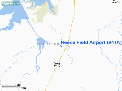
Location & QuickFacts
| FAA Information Effective: | 2008-09-25 |
| Airport Identifier: | 94TA |
| Airport Status: | Operational |
| Longitude/Latitude: | 100-27-31.3320W/31-18-20.5930N
-100.458703/31.305720 (Estimated) |
| Elevation: | 1960 ft / 597.41 m (Estimated) |
| Land: | 0 acres |
| From nearest city: | 9 nautical miles S of San Angelo, TX |
| Location: | Tom Green County, TX |
| Magnetic Variation: | 08E (1985) |
Owner & Manager
| Ownership: | Privately owned |
| Owner: | Robert R. Reece |
| Address: | 1878 Reece Road
San Angelo, TX 76904 |
| Phone number: | 915-651-7882 |
| Manager: | Robert R. Reece |
| Address: | 1878 Reece Road
San Angelo, TX 76904 |
| Phone number: | 915-651-7882 |
Airport Operations and Facilities
| Airport Use: | Private |
| Wind indicator: | Yes |
| Segmented Circle: | No |
| Control Tower: | No |
| Landing fee charge: | No |
| Sectional chart: | San Antonio |
| Region: | ASW - Southwest |
| Boundary ARTCC: | ZFW - Fort Worth |
| Tie-in FSS: | SJT - San Angelo |
| FSS on Airport: | No |
| FSS Toll Free: | 1-800-WX-BRIEF |
Runway Information
Runway 17/35
| Dimension: | 3024 x 90 ft / 921.7 x 27.4 m |
| Surface: | TURF, |
| |
Runway 17 |
Runway 35 |
| Traffic Pattern: | Right | Left |
|
Radio Navigation Aids
| ID |
Type |
Name |
Ch |
Freq |
Var |
Dist |
| UBC | NDB | Ballinger | | 239.00 | 08E | 33.5 nm |
| SOA | NDB | Sonora | | 371.00 | 08E | 44.6 nm |
| IEW | NDB | Winters | | 396.00 | 08E | 45.4 nm |
| SJT | VORTAC | San Angelo | 098X | 115.10 | 10E | 4.2 nm |
Remarks
- ALL TRAFFIC REMAIN WEST OF THE RY.
Images and information placed above are from
http://www.airport-data.com/airport/94TA/
We thank them for the data!
| General Info
|
| Country |
United States
|
| State |
TEXAS
|
| FAA ID |
94TA
|
| Latitude |
31-18-20.593N
|
| Longitude |
100-27-31.332W
|
| Elevation |
1960 feet
|
| Near City |
SAN ANGELO
|
We don't guarantee the information is fresh and accurate. The data may
be wrong or outdated.
For more up-to-date information please refer to other sources.
|
|


