 |
|
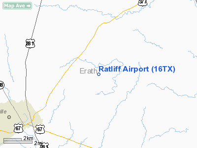
Location & QuickFacts
| FAA Information Effective: | 2008-09-25 |
| Airport Identifier: | 16TX |
| Airport Status: | Operational |
| Longitude/Latitude: | 098-06-26.1390W/32-15-50.5020N
-98.107261/32.264028 (Estimated) |
| Elevation: | 1300 ft / 396.24 m (Estimated) |
| Land: | 0 acres |
| From nearest city: | 4 nautical miles NE of Stephenville, TX |
| Location: | Erath County, TX |
| Magnetic Variation: | 07E (1985) |
Owner & Manager
| Ownership: | Privately owned |
| Owner: | Delbert M Ratliff |
| Address: | Route 6, Box 410
Stephenville, TX 76401 |
| Address: |
|
Airport Operations and Facilities
| Airport Use: | Private |
| Wind indicator: | No |
| Segmented Circle: | No |
| Control Tower: | No |
| Landing fee charge: | No |
| Sectional chart: | Dallas-ft Worth |
| Region: | ASW - Southwest |
| Boundary ARTCC: | ZFW - Fort Worth |
| Tie-in FSS: | FTW - Fort Worth |
| FSS on Airport: | No |
| FSS Phone: | 817-541-3474 |
| FSS Toll Free: | 1-800-WX-BRIEF |
Airport Services
| Airframe Repair: | NONE |
| Power Plant Repair: | NONE |
Runway Information
Runway NE/SW
| Dimension: | 1900 x 50 ft / 579.1 x 15.2 m |
| Surface: | TURF, |
| |
Runway NE |
Runway SW |
| Traffic Pattern: | Right | Right |
| Obstruction: | 40 ft pline | |
|
Radio Navigation Aids
| ID |
Type |
Name |
Ch |
Freq |
Var |
Dist |
| MWL | NDB | Mineral Wells | | 266.00 | 06E | 31.4 nm |
| OIP | NDB | Old Rip | | 410.00 | 07E | 36.6 nm |
| MNZ | NDB | Hamilton | | 251.00 | 07E | 38.8 nm |
| GZV | NDB | Brazos River | | 280.00 | 07E | 44.1 nm |
| BKD | NDB | Breckenridge | | 245.00 | 07E | 49.2 nm |
| NFW | TACAN | Nas Jrb Fort Worth | 024X | | 07E | 45.6 nm |
| BWD | VOR/DME | Brownwood | 023X | 108.60 | 08E | 48.7 nm |
| JEN | VORTAC | Glen Rose | 097X | 115.00 | 06E | 13.3 nm |
| MQP | VORTAC | Millsap | 124X | 117.70 | 09E | 28.3 nm |
Images and information placed above are from
http://www.airport-data.com/airport/16TX/
We thank them for the data!
| General Info
|
| Country |
United States
|
| State |
TEXAS
|
| FAA ID |
16TX
|
| Latitude |
32-15-50.502N
|
| Longitude |
098-06-26.139W
|
| Elevation |
1300 feet
|
| Near City |
STEPHENVILLE
|
We don't guarantee the information is fresh and accurate. The data may
be wrong or outdated.
For more up-to-date information please refer to other sources.
|
|


