|
|
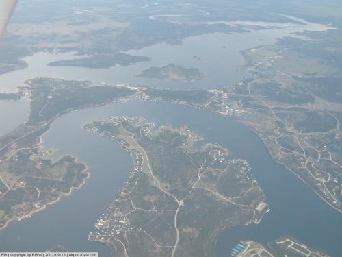 |
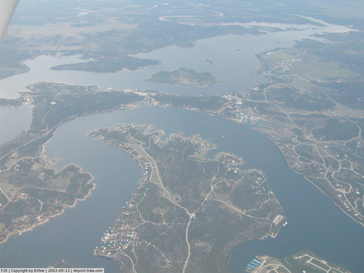
(Click on the photo to enlarge) |
Location & QuickFacts
| FAA Information Effective: | 2008-09-25 |
| Airport Identifier: | F35 |
| Airport Status: | Operational |
| Longitude/Latitude: | 098-26-11.1900W/32-55-23.4360N
-98.436442/32.923177 (Estimated) |
| Elevation: | 1008 ft / 307.24 m (Surveyed) |
| Land: | 59 acres |
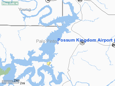
| From nearest city: | 12 nautical miles SW of Graford, TX |
| Location: | Palo Pinto County, TX |
| Magnetic Variation: | 07E (1985) |
Owner & Manager
| Ownership: | Publicly owned |
| Owner: | Brazos River Authority |
| Address: | 4400 Cobbs Drive
Waco, TX 76710 |
| Phone number: | 254-776-1441 |
| Manager: | Ken Hyde
POSSUM KINGDOM LAKE SUPERVISOR. |
| Address: | 301 Observation Point Road
Graford, TX 76449 |
| Phone number: | 940-779-2321 |
Airport Operations and Facilities
| Airport Use: | Open to public |
| Wind indicator: | Yes |
| Segmented Circle: | Yes |
| Control Tower: | No |
| Lighting Schedule: | DUSK-DAWN |
| Beacon Color: | Clear-Green (lighted land airport) |
| Landing fee charge: | No |
| Sectional chart: | Dallas-ft Worth |
| Region: | ASW - Southwest |
| Boundary ARTCC: | ZFW - Fort Worth |
| Tie-in FSS: | FTW - Fort Worth |
| FSS on Airport: | No |
| FSS Phone: | 817-541-3474 |
| FSS Toll Free: | 1-800-WX-BRIEF |
| NOTAMs Facility: | FTW (NOTAM-d service avaliable) |
| Federal Agreements: | GY |
Airport Communications
Airport Services
Runway Information
Runway 02/20
| Dimension: | 3202 x 60 ft / 976.0 x 18.3 m |
| Surface: | ASPH, Fair Condition |
| Weight Limit: | Single wheel: 24000 lbs. |
| Edge Lights: | Medium |
| |
Runway 02 |
Runway 20 |
| Longitude: | 098-26-23.1740W | 098-26-04.0970W |
| Latitude: | 32-55-09.0470N | 32-55-36.3350N |
| Elevation: | 1008.00 ft | 1008.00 ft |
| Alignment: | 31 | 127 |
| Traffic Pattern: | Left | Left |
| Markings: | Basic, Poor Condition
NUMBERS AND CENTERLINE MARKINGS FADED. | Basic, Poor Condition
NUMBERS AND CENTERLINE MARKINGS FADED. |
| Obstruction: | 48 ft tree, 890.0 ft from runway, 175 ft left of centerline, 14:1 slope to clear | 47 ft tree, 890.0 ft from runway, 125 ft right of centerline, 14:1 slope to clear |
|
Radio Navigation Aids
| ID |
Type |
Name |
Ch |
Freq |
Var |
Dist |
| GZV | NDB | Brazos River | | 280.00 | 07E | 2.1 nm |
| GHX | NDB | Graham | | 371.00 | 07E | 14.9 nm |
| MWL | NDB | Mineral Wells | | 266.00 | 06E | 20.9 nm |
| BKD | NDB | Breckenridge | | 245.00 | 07E | 25.3 nm |
| ONY | NDB | Olney | | 272.00 | 07E | 32.1 nm |
| OIP | NDB | Old Rip | | 410.00 | 07E | 36.8 nm |
| MQP | VORTAC | Millsap | 124X | 117.70 | 09E | 25.1 nm |
| UKW | VORTAC | Bowie | 071X | 112.40 | 06E | 48.1 nm |
Images and information placed above are from
http://www.airport-data.com/airport/F35/
We thank them for the data!
| General Info
|
| Country |
United States
|
| State |
TEXAS
|
| FAA ID |
F35
|
| Latitude |
32-55-23.436N
|
| Longitude |
098-26-11.190W
|
| Elevation |
1008 feet
|
| Near City |
GRAFORD
|
We don't guarantee the information is fresh and accurate. The data may
be wrong or outdated.
For more up-to-date information please refer to other sources.
|
|