 |
|
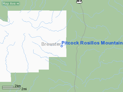
Pitcock Rosillos Mountain Ranch Airport |
Location & QuickFacts
| FAA Information Effective: | 2008-09-25 |
| Airport Identifier: | 09TS |
| Airport Status: | Operational |
| Longitude/Latitude: | 103-09-53.6140W/29-28-56.7080N
-103.164893/29.482419 (Estimated) |
| Elevation: | 3100 ft / 944.88 m (Estimated) |
| Land: | 0 acres |
| From nearest city: | 55 nautical miles N of Marathon, TX |
| Location: | Brewster County, TX |
| Magnetic Variation: | 09E (1986) |
Owner & Manager
| Ownership: | Privately owned |
| Owner: | Pitcock Inc |
| Address: | Po Box 1747
Graham, TX 76450 |
| Phone number: | 817-549-3344 |
| Address: |
|
Airport Operations and Facilities
| Airport Use: | Private |
| Segmented Circle: | No |
| Control Tower: | No |
| Sectional chart: | El Paso |
| Region: | ASW - Southwest |
| Boundary ARTCC: | ZAB - Albuquerque |
| Tie-in FSS: | SJT - San Angelo |
| FSS Toll Free: | 1-800-WX-BRIEF |
Runway Information
Runway 09/27
| Dimension: | 4200 x 42 ft / 1280.2 x 12.8 m |
| Surface: | ASPH, |
| |
Runway 09 |
Runway 27 |
| Traffic Pattern: | Left | Left |
|
Radio Navigation Aids
| ID |
Type |
Name |
Ch |
Freq |
Var |
Dist |
| IMP | NDB | Marathon | | 388.00 | 10E | 47.1 nm |
Remarks
- PLINE PARALLEL TO RWY 125' S; MTN 3000' SW.
Images and information placed above are from
http://www.airport-data.com/airport/09TS/
We thank them for the data!
| General Info
|
| Country |
United States
|
| State |
TEXAS
|
| FAA ID |
09TS
|
| Latitude |
29-28-56.708N
|
| Longitude |
103-09-53.614W
|
| Elevation |
3100 feet
|
| Near City |
MARATHON
|
We don't guarantee the information is fresh and accurate. The data may
be wrong or outdated.
For more up-to-date information please refer to other sources.
|
|


