|
|
 |
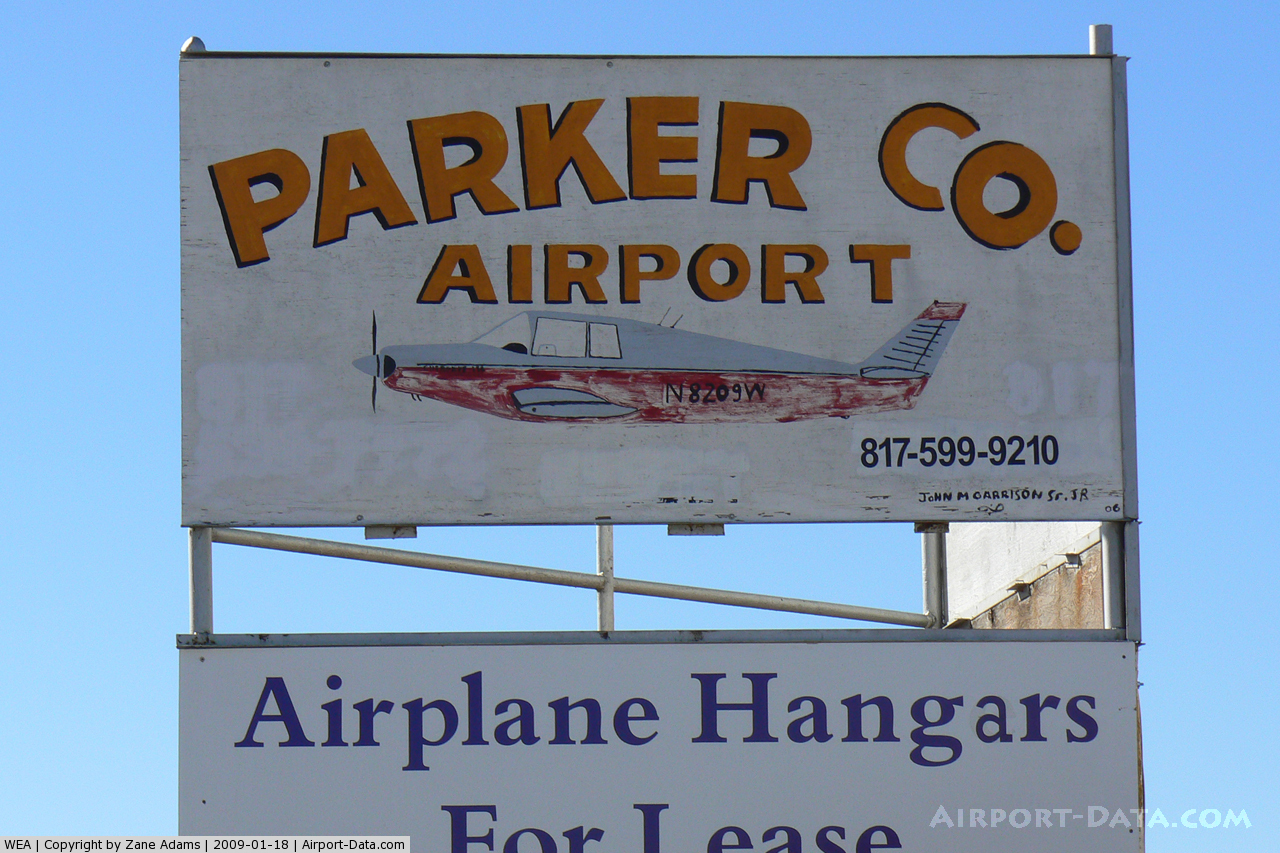
(Click on the photo to enlarge) |
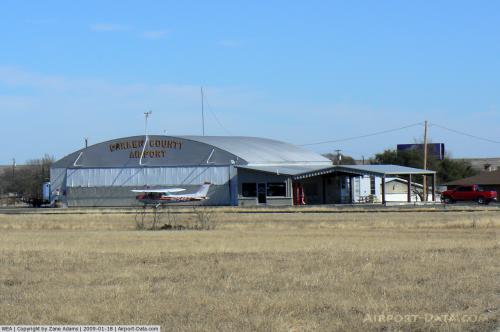 |
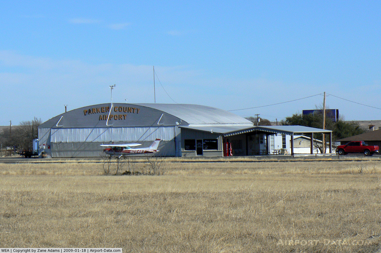
(Click on the photo to enlarge) |
 |
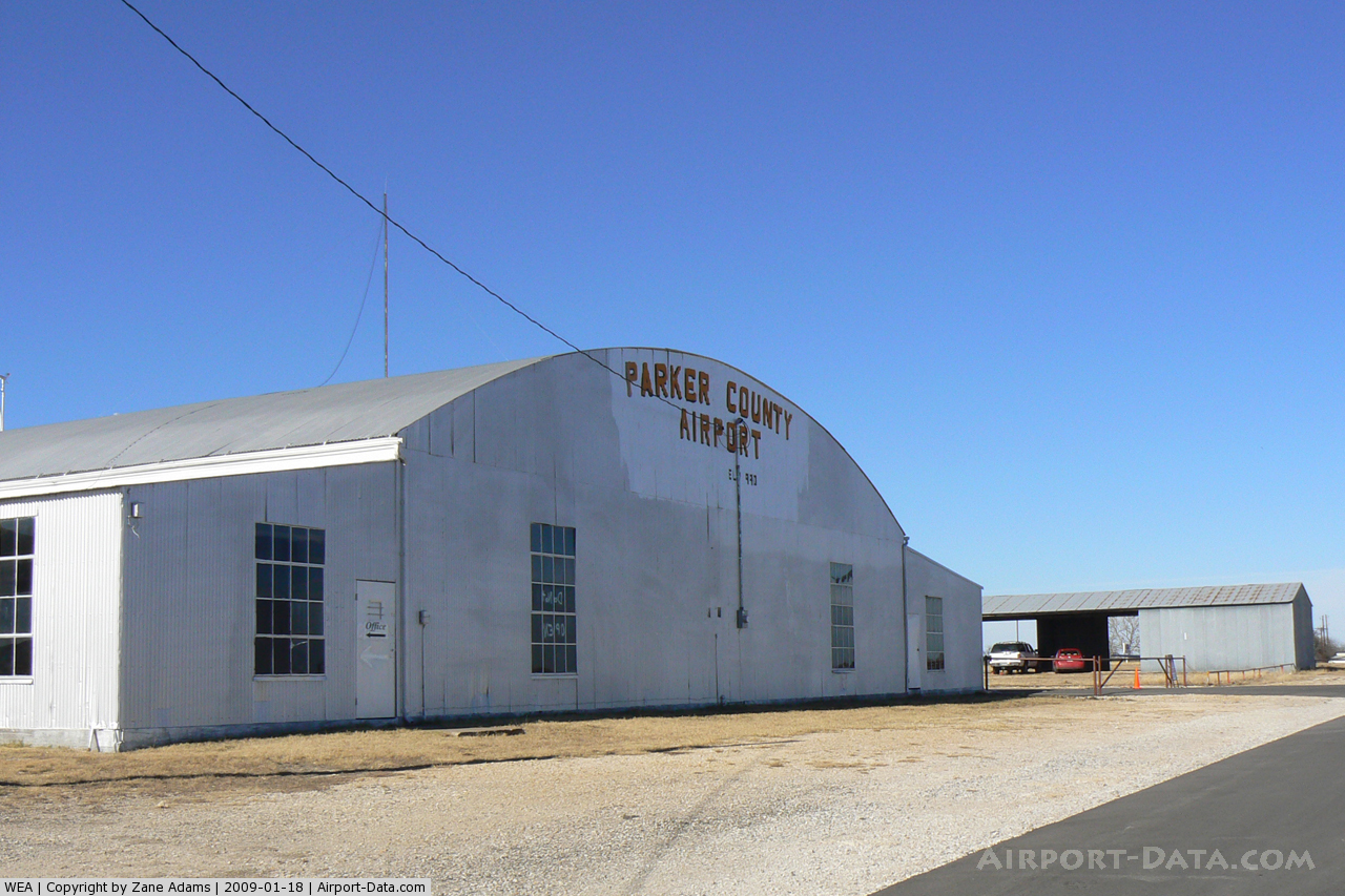
(Click on the photo to enlarge) |
 |
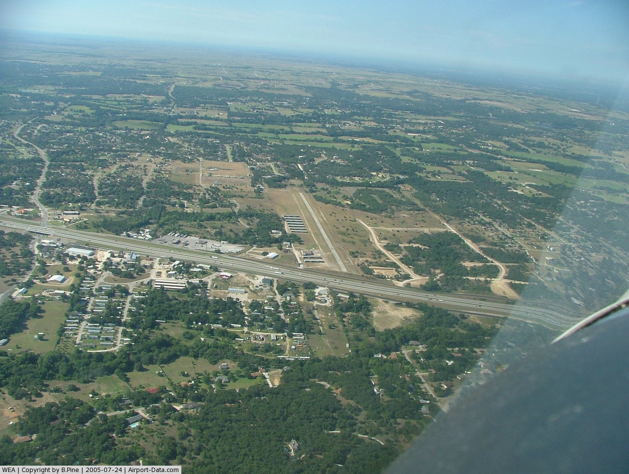
(Click on the photo to enlarge) |
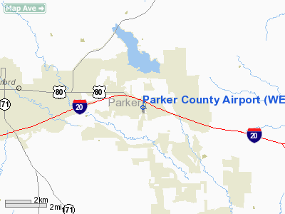
Location & QuickFacts
| FAA Information Effective: | 2008-09-25 |
| Airport Identifier: | WEA |
| Airport Status: | Operational |
| Longitude/Latitude: | 097-40-56.7990W/32-44-46.6640N
-97.682444/32.746296 (Estimated) |
| Elevation: | 990 ft / 301.75 m (Surveyed) |
| Land: | 44 acres |
| From nearest city: | 5 nautical miles E of Weatherford, TX |
| Location: | Parker County, TX |
| Magnetic Variation: | 09E (1965) |
Owner & Manager
| Ownership: | Privately owned |
| Owner: | Parker Oaks Airport L.p. |
| Address: | 1450 N.w. Jim Wright Fwy
Ft. Worth, TX 76106 |
| Phone number: | 817-626-2600 |
| Manager: | Matthew Wortham |
| Address: | 3816 Ft. Worth Hwy
Weatherford, TX 76087 |
| Phone number: | 817-599-7772 |
Airport Operations and Facilities
| Airport Use: | Open to public |
| Wind indicator: | Yes |
| Segmented Circle: | No |
| Control Tower: | No |
| Lighting Schedule: | DUSK-DAWN |
| Landing fee charge: | No |
| Sectional chart: | Dallas-ft Worth |
| Region: | ASW - Southwest |
| Boundary ARTCC: | ZFW - Fort Worth |
| Tie-in FSS: | FTW - Fort Worth |
| FSS on Airport: | No |
| FSS Phone: | 817-541-3474 |
| FSS Toll Free: | 1-800-WX-BRIEF |
| NOTAMs Facility: | FTW (NOTAM-d service avaliable) |
Airport Communications
| CTAF: | 122.700 |
| Unicom: | 122.700 |
Airport Services
| Fuel available: | 100LL
FOR FUEL CALL 817-599-9210. |
| Airframe Repair: | MAJOR |
| Power Plant Repair: | MAJOR |
| Bottled Oxygen: | NONE |
| Bulk Oxygen: | NONE |
Runway Information
Runway 17/35
| Dimension: | 2889 x 40 ft / 880.6 x 12.2 m |
| Surface: | ASPH, Fair Condition |
| Weight Limit: | Single wheel: 7500 lbs. |
| Edge Lights: | Non-standard lighting system
RY 17/35 NSTD LIRL. RY 17 NIGHT DSPLCD THLD 2 CLEAR LGTS; 2 RED LGTS ON RY END. |
| |
Runway 17 |
Runway 35 |
| Longitude: | 097-40-56.7030W | 097-40-56.9250W |
| Latitude: | 32-45-00.9370N | 32-44-32.3580N |
| Elevation: | 988.00 ft | 983.00 ft |
| Alignment: | 127 | 0 |
| Traffic Pattern: | Left | Left |
| Markings: | Nonstandard, Poor Condition
RY NRS 12 FT HIGH; STRIPES 8 FT & SPACES 18 FT EACH. ALL MARKINGS FADED. | Nonstandard, Poor Condition
RY NRS 12 FT HIGH; STRIPES 8 FT & SPACES 18 FT EACH. ALL MARKINGS FADED. |
| Displaced threshold: | 219.00 ft
ARROWS ONLY 8 FT LONG. MARKINGS FADED. | 0.00 ft |
| Obstruction: | 38 ft tree, 515.0 ft from runway, 55 ft left of centerline, 8:1 slope to clear
APCH RATIO 19:1 FROM DSPLCD THLD; +38 FT TREE 55 FT LEFT OF CNTRLN AT 734 FT FM DSPLCD THLD.
+5 FT FENCE 40 FT FM THLD 120 FT R OF CNTRLN; 20 FT DROP-OFF 10 FT FROM THLD 0B. | 2 ft hill, 201.0 ft from runway, 70 ft right of centerline
+35 FT TREES 70 FT FM THLD 117 FT L OF CNTRLN; 2 FT HILL 0-200 FT FROM THLD 70 FT RIGHT. |
|
Radio Navigation Aids
| ID |
Type |
Name |
Ch |
Freq |
Var |
Dist |
| MWL | NDB | Mineral Wells | | 266.00 | 06E | 19.1 nm |
| XQH | NDB | Cedar Hill | | 353.00 | 08E | 36.9 nm |
| GZV | NDB | Brazos River | | 280.00 | 07E | 38.9 nm |
| RBD | NDB | Redbird | | 287.00 | 06E | 41.2 nm |
| GHX | NDB | Graham | | 371.00 | 07E | 48.2 nm |
| LNC | NDB | Lancaster | | 239.00 | 06E | 49.7 nm |
| NFW | TACAN | Nas Jrb Fort Worth | 024X | | 07E | 12.4 nm |
| TTT | VOR/DME | Maverick | 078X | 113.10 | 06E | 33.3 nm |
| CVE | VOR/DME | Cowboy | 109X | 116.20 | 06E | 40.3 nm |
| MQP | VORTAC | Millsap | 124X | 117.70 | 09E | 16.0 nm |
| FUZ | VORTAC | Ranger | 104X | 115.70 | 06E | 26.8 nm |
| JEN | VORTAC | Glen Rose | 097X | 115.00 | 06E | 36.6 nm |
| UKW | VORTAC | Bowie | 071X | 112.40 | 06E | 48.0 nm |
| FTW | VOT | Fort Worth Meacham | | 108.20 | | 16.9 nm |
| DAL | VOT | Dallas Love Field | | 113.30 | | 42.4 nm |
Remarks
- ARPT CLSD TO TSNT STUDENT TRNG.
Images and information placed above are from
http://www.airport-data.com/airport/WEA/
We thank them for the data!
| General Info
|
| Country |
United States
|
| State |
TEXAS
|
| FAA ID |
WEA
|
| Latitude |
32-44-46.664N
|
| Longitude |
097-40-56.799W
|
| Elevation |
990 feet
|
| Near City |
WEATHERFORD
|
We don't guarantee the information is fresh and accurate. The data may
be wrong or outdated.
For more up-to-date information please refer to other sources.
|
|