 |
|
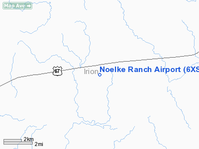
Location & QuickFacts
| FAA Information Effective: | 2008-09-25 |
| Airport Identifier: | 6XS4 |
| Airport Status: | Operational |
| Longitude/Latitude: | 101-00-01.3920W/31-10-00.5900N
-101.000387/31.166831 (Estimated) |
| Elevation: | 2500 ft / 762.00 m (Estimated) |
| Land: | 0 acres |
| From nearest city: | 10 nautical miles SW of Mertzon, TX |
| Location: | Irion County, TX |
| Magnetic Variation: | 08E (1985) |
Owner & Manager
| Ownership: | Privately owned |
| Owner: | H E Noelke |
| Address: | Box 529
Mertzon, TX 76941 |
| Phone number: | 915-835-6081 |
| Manager: | H E Noelke |
| Address: | Box 529
Mertzon, TX 76941 |
| Phone number: | 915-835-6081 |
Airport Operations and Facilities
| Airport Use: | Private |
| Wind indicator: | Yes |
| Segmented Circle: | No |
| Control Tower: | No |
| Landing fee charge: | No |
| Sectional chart: | San Antonio |
| Region: | ASW - Southwest |
| Boundary ARTCC: | ZFW - Fort Worth |
| Tie-in FSS: | SJT - San Angelo |
| FSS on Airport: | No |
| FSS Toll Free: | 1-800-WX-BRIEF |
Runway Information
Runway 03/21
| Dimension: | 2600 x 100 ft / 792.5 x 30.5 m |
| Surface: | ASPH, |
| |
Runway 03 |
Runway 21 |
| Traffic Pattern: | Left | Left |
|
Runway 04/22
| Dimension: | 1600 x 150 ft / 487.7 x 45.7 m |
| Surface: | TURF, |
| |
Runway 04 |
Runway 22 |
| Traffic Pattern: | Right | Right |
|
Radio Navigation Aids
| ID |
Type |
Name |
Ch |
Freq |
Var |
Dist |
| SOA | NDB | Sonora | | 371.00 | 08E | 39.6 nm |
| SJT | VORTAC | San Angelo | 098X | 115.10 | 10E | 30.7 nm |
Images and information placed above are from
http://www.airport-data.com/airport/6XS4/
We thank them for the data!
| General Info
|
| Country |
United States
|
| State |
TEXAS
|
| FAA ID |
6XS4
|
| Latitude |
31-10-00.590N
|
| Longitude |
101-00-01.392W
|
| Elevation |
2500 feet
|
| Near City |
MERTZON
|
We don't guarantee the information is fresh and accurate. The data may
be wrong or outdated.
For more up-to-date information please refer to other sources.
|
|


