 |
|
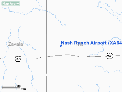
Location & QuickFacts
| FAA Information Effective: | 2008-09-25 |
| Airport Identifier: | XA64 |
| Airport Status: | Operational |
| Longitude/Latitude: | 099-23-07.0000W/28-57-42.0000N
-99.385278/28.961667 (Estimated) |
| Elevation: | 780 ft / 237.74 m (Estimated) |
| Land: | 35 acres |
| From nearest city: | 12 nautical miles E of Batesville, TX |
| Location: | Frio County, TX |
| Magnetic Variation: | () |
Owner & Manager
| Ownership: | Privately owned |
| Owner: | Charles Nash |
| Address: | Po Box 1988
Austin, TX 78767-1988 |
| Phone number: | 512-444-8888 |
| Manager: | Charles Nash |
| Address: | Po Box 1988
Austin, TX 78767-1988 |
| Phone number: | 512-444-8888 |
Airport Operations and Facilities
| Airport Use: | Private |
| Wind indicator: | Yes |
| Control Tower: | No |
| Sectional chart: | San Antonio |
| Region: | ASW - Southwest |
| Boundary ARTCC: | ZHU - Houston |
| Tie-in FSS: | SJT - San Angelo |
| FSS Toll Free: | 1-800-WX-BRIEF |
Runway Information
Runway 13/31
| Dimension: | 3800 x 60 ft / 1158.2 x 18.3 m |
| Surface: | ASPH-TRTD, Good Condition |
| |
Runway 13 |
Runway 31 |
| Traffic Pattern: | Left | Left |
| Obstruction: | 6 ft fence, 200.0 ft from runway | 6 ft fence, 200.0 ft from runway |
|
Radio Navigation Aids
| ID |
Type |
Name |
Ch |
Freq |
Var |
Dist |
| UVA | NDB | Uvalde | | 281.00 | 07E | 22.1 nm |
| LKX | NDB | La Pryor | | 223.00 | 09E | 24.8 nm |
| HHH | NDB | Devine | | 359.00 | 07E | 25.7 nm |
| HMA | NDB | Hondo | | 329.00 | 08E | 27.2 nm |
| CPZ | NDB | Chaparrosa Ranch | | 385.00 | 10E | 32.8 nm |
| DMD | NDB | Dimmit County | | 343.00 | 07E | 35.2 nm |
| CVB | NDB | Castroville | | 338.00 | 08E | 36.4 nm |
| PEZ | NDB | Pleasanton | | 275.00 | 07E | 45.6 nm |
| KSY | TACAN | Kelly | 057X | | 07E | 49.5 nm |
| HDO | VOR/DME | Hondo | 31X | 109.40 | 08E | 25.7 nm |
| COT | VORTAC | Cotulla | 105X | 115.80 | 09E | 33.2 nm |
Remarks
- PRVDD A CLEAR 20:1 VISUAL APCH SLOPE.
Images and information placed above are from
http://www.airport-data.com/airport/XA64/
We thank them for the data!
| General Info
|
| Country |
United States
|
| State |
TEXAS
|
| FAA ID |
XA64
|
| Latitude |
28.961667
28° 57' 42.00" N
|
| Longitude |
-99.385278
099° 23' 07.00" W
|
| Elevation |
780 feet
238 meters
|
| Magnetic Variation |
006° E (01/06)
|
| Operating Agency |
PRIVATE
|
We don't guarantee the information is fresh and accurate. The data may
be wrong or outdated.
For more up-to-date information please refer to other sources.
|
|


