 |
|
Location & QuickFacts
| FAA Information Effective: | 2008-09-25 |
| Airport Identifier: | 7TE7 |
| Airport Status: | Operational |
| Longitude/Latitude: | 098-20-01.0560W/26-23-01.2430N
-98.333627/26.383679 (Estimated) |
| Elevation: | 219 ft / 66.75 m (Estimated) |
| Land: | 0 acres |
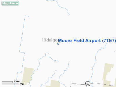
| From nearest city: | 10 nautical miles NW of Mission, TX |
| Location: | Hidalgo County, TX |
| Magnetic Variation: | 07E (1985) |
Owner & Manager
| Ownership: | Publicly owned |
| Owner: | Us Dept Of Ag; Moore Air Base |
| Address: | Route 3, Box 1004
Edinburg, TX 78539 |
| Phone number: | 512-580-7222 |
| Manager: | Manuel Garcia, Moore Air Base |
| Address: | Route 3, Box 1004
Edinburg, TX 78539 |
| Phone number: | 512-580-7210 |
Airport Operations and Facilities
| Airport Use: | Private |
| Wind indicator: | Yes |
| Segmented Circle: | No |
| Control Tower: | No |
| Landing fee charge: | No |
| Sectional chart: | Brownsville |
| Region: | ASW - Southwest |
| Boundary ARTCC: | ZHU - Houston |
| Tie-in FSS: | SJT - San Angelo |
| FSS on Airport: | No |
| FSS Toll Free: | 1-800-WX-BRIEF |
Airport Communications
Airport Services
| Airframe Repair: | NONE |
| Power Plant Repair: | NONE |
Runway Information
Runway 09/27
| Dimension: | 5000 x 300 ft / 1524.0 x 91.4 m |
| Surface: | CONC, |
| |
Runway 09 |
Runway 27 |
| Traffic Pattern: | Left | Left |
|
Runway 13/31
| Dimension: | 5150 x 300 ft / 1569.7 x 91.4 m |
| Surface: | CONC, |
| |
Runway 13 |
Runway 31 |
| Traffic Pattern: | Left | Left |
|
Runway 18/36
| Dimension: | 5000 x 300 ft / 1524.0 x 91.4 m |
| Surface: | CONC, |
| |
Runway 18 |
Runway 36 |
| Traffic Pattern: | Left | Left |
|
Radio Navigation Aids
| ID |
Type |
Name |
Ch |
Freq |
Var |
Dist |
| SNE | NDB | Santa Elena | | 260.00 | 07E | 24.0 nm |
| REX | VOR | Reynosa | | 112.40 | 08E | 23.0 nm |
| MFE | VOR/DME | Mc Allen | 119X | 117.20 | 09E | 13.6 nm |
| HRL | VOR/DME | Harlingen | 029X | 109.20 | 05E | 37.9 nm |
Remarks
- MAY BE EXEMPT UNDER GRANDFATHER CLAUSE
Images and information placed above are from
http://www.airport-data.com/airport/7TE7/
We thank them for the data!
| General Info
|
| Country |
United States
|
| State |
TEXAS
|
| FAA ID |
7TE7
|
| Latitude |
26-23-01.243N
|
| Longitude |
098-20-01.056W
|
| Elevation |
219 feet
|
| Near City |
MISSION
|
We don't guarantee the information is fresh and accurate. The data may
be wrong or outdated.
For more up-to-date information please refer to other sources.
|
|


