|
|
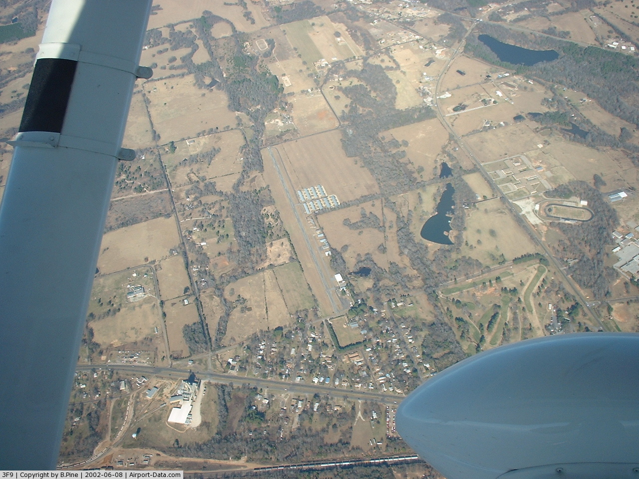
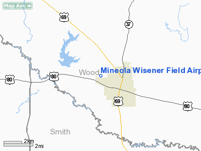
Mineola Wisener Field Airport |
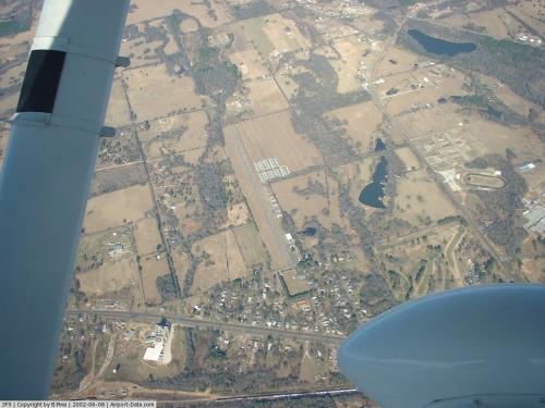 |
(Click on the photo to enlarge) |
Location & QuickFacts
| FAA Information Effective: | 2008-09-25 |
| Airport Identifier: | 3F9 |
| Airport Status: | Operational |
| Longitude/Latitude: | 095-30-38.9000W/32-40-36.1000N
-95.510806/32.676694 (Estimated) |
| Elevation: | 429 ft / 130.76 m (Surveyed) |
| Land: | 30 acres |
| From nearest city: | 1 nautical miles W of Mineola, TX |
| Location: | Wood County, TX |
| Magnetic Variation: | 08E (1965) |
Owner & Manager
| Ownership: | Privately owned |
| Owner: | R. H. Wisener Iv |
| Address: | 1404 Country Club Drive
Mineola, TX 75773 |
| Phone number: | 903-569-5275 |
| Manager: | R. H. Wisener |
| Address: | 1404 Country Club Drive
Mineola, TX 75773 |
| Phone number: | 903-569-5275
PHONE NUMBER AT ARPT 903-569-9527. |
Airport Operations and Facilities
| Airport Use: | Open to public |
| Wind indicator: | Yes |
| Segmented Circle: | No |
| Control Tower: | No |
| Lighting Schedule: | DUSK-DAWN
ACTVT LIRL RY 17/35 - CTAF. |
| Beacon Color: | Clear-Green (lighted land airport)
ROTG BCN OTS INDEFLY. |
| Landing fee charge: | No |
| Sectional chart: | Dallas-ft Worth |
| Region: | ASW - Southwest |
| Boundary ARTCC: | ZFW - Fort Worth |
| Tie-in FSS: | FTW - Fort Worth |
| FSS on Airport: | No |
| FSS Phone: | 817-541-3474 |
| FSS Toll Free: | 1-800-WX-BRIEF |
| NOTAMs Facility: | FTW (NOTAM-d service avaliable) |
Airport Communications
| CTAF: | 122.800 |
| Unicom: | 122.800 |
Airport Services
| Fuel available: | 100LL
FUEL AVBL 24 HR SELF-SERVICE WITH MAJOR CREDIT CARD. |
| Airframe Repair: | MAJOR |
| Power Plant Repair: | MAJOR |
| Bottled Oxygen: | NONE |
| Bulk Oxygen: | NONE |
Runway Information
Runway 17/35
| Dimension: | 3203 x 40 ft / 976.3 x 12.2 m |
| Surface: | ASPH, Poor Condition
RY SURFACE HAS SOME LOOSE AGGREGATE AND SEVERAL ROUGH PATCHES. |
| Weight Limit: | Single wheel: 10000 lbs. |
| Edge Lights: | Low
ONLY CENTER 2945 LGTD. THLD AT BOTH RY ENDS MARKED BY A SINGLE RED LIGHT. |
| |
Runway 17 |
Runway 35 |
| Longitude: | 095-30-38.6980W | 095-30-39.0880W |
| Latitude: | 32-40-51.9020N | 32-40-20.2180N |
| Elevation: | 429.00 ft | 404.00 ft |
| Alignment: | 127 | 1 |
| Traffic Pattern: | Left | Left |
| Markings: | Nonstandard, Fair Condition
17/35 NRS NSTD SIZE. | Nonstandard, Fair Condition |
| Obstruction: | 50 ft trees, 200.0 ft from runway, 75 ft right of centerline
+8-12 FT FENCE, BRUSH & ROAD AT THLD ACROSS APCH 5 FT FM THLD, +25 FT TREE 20 FT FM THLD 40 FT LEFT. | 12 ft bldg, 200.0 ft from runway, 87 ft right of centerline
ROAD; 4 FT FENCE AT THLD & 20 FT TREE 30 FT FM THLD ACROSS CENTERLINE. |
|
Radio Navigation Aids
| ID |
Type |
Name |
Ch |
Freq |
Var |
Dist |
| TY | NDB | Tyler | | 320.00 | 06E | 15.8 nm |
| ABG | NDB | Ambassador | | 404.00 | 07E | 20.9 nm |
| SYW | NDB | Cash | | 428.00 | 05E | 33.6 nm |
| AHX | NDB | Athens | | 269.00 | 06E | 35.1 nm |
| AVZ | NDB | Travis | | 260.00 | 06E | 37.7 nm |
| LST | NDB | Lone Star | | 305.00 | 05E | 41.6 nm |
| MII | NDB | Caddo Mills | | 316.00 | 06E | 43.2 nm |
| CSZ | NDB | Crossroads | | 215.00 | 08E | 43.3 nm |
| HNO | NDB | Henderson | | 371.00 | 06E | 44.2 nm |
| LIQ | NDB | Lochridge Ranch | | 335.00 | 09E | 45.9 nm |
| MJF | TACAN | Arvilla | 033X | | 05E | 36.3 nm |
| UIM | VOR/DME | Quitman | 087X | 114.00 | 08E | 14.2 nm |
| TYR | VOR/DME | Tyler | 089X | 114.20 | 06E | 20.0 nm |
| SLR | VOR/DME | Sulphur Springs | 027X | 109.00 | 08E | 31.4 nm |
| FZT | VOR/DME | Frankston | 051X | 111.40 | 06E | 36.2 nm |
| GGG | VORTAC | Gregg County | 070X | 112.30 | 07E | 41.4 nm |
| CQY | VORTAC | Cedar Creek | 095X | 114.80 | 06E | 46.5 nm |
Remarks
- RY 17/35 LIRL OTS INDEFLY.
- PRE DATES THE ACT.
Images and information placed above are from
http://www.airport-data.com/airport/3F9/
We thank them for the data!
| General Info
|
| Country |
United States
|
| State |
TEXAS
|
| FAA ID |
3F9
|
| Latitude |
32-40-36.100N
|
| Longitude |
095-30-38.900W
|
| Elevation |
429 feet
|
| Near City |
MINEOLA
|
We don't guarantee the information is fresh and accurate. The data may
be wrong or outdated.
For more up-to-date information please refer to other sources.
|
|