 |
|
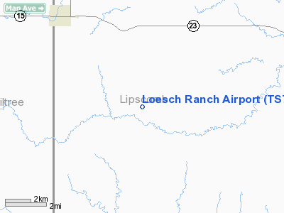
Location & QuickFacts
| FAA Information Effective: | 2008-09-25 |
| Airport Identifier: | TS78 |
| Airport Status: | Operational |
| Longitude/Latitude: | 100-28-07.5110W/36-23-30.1200N
-100.468753/36.391700 (Estimated) |
| Elevation: | 2804 ft / 854.66 m (Estimated) |
| Land: | 8 acres |
| From nearest city: | 5 nautical miles NW of Booker, TX |
| Location: | Lipscomb County, TX |
| Magnetic Variation: | 08E (1985) |
Owner & Manager
| Ownership: | Privately owned |
| Owner: | Margaret Cox |
| Address: |
Booker, TX 79005 |
| Phone number: | 806-658-4493 |
| Manager: | Delmar Loesch |
| Address: | Rt 2/box 20
Booker, TX 79005 |
| Phone number: | 806-658-4493 |
Airport Operations and Facilities
| Airport Use: | Private |
| Wind indicator: | Yes |
| Segmented Circle: | No |
| Control Tower: | No |
| Sectional chart: | Wichita |
| Region: | ASW - Southwest |
| Boundary ARTCC: | ZKC - Kansas City |
| Tie-in FSS: | FTW - Fort Worth |
| FSS Phone: | 817-541-3474 |
| FSS Toll Free: | 1-800-WX-BRIEF |
Runway Information
Runway 17/35
| Dimension: | 4200 x 75 ft / 1280.2 x 22.9 m |
| Surface: | TURF, |
| |
Runway 17 |
Runway 35 |
| Traffic Pattern: | Left | Left |
|
Radio Navigation Aids
| ID |
Type |
Name |
Ch |
Freq |
Var |
Dist |
| PYX | NDB | Perryton | | 266.00 | 09E | 13.6 nm |
| HHF | NDB | Hemphill County | | 400.00 | 08E | 30.2 nm |
| OWU | NDB | West Woodward | | 329.00 | 08E | 45.8 nm |
| BFK | NDB | Buffalo | | 215.00 | 08E | 49.8 nm |
| GAG | VORTAC | Gage | 103X | 115.60 | 10E | 28.6 nm |
| LBL | VORTAC | Liberal | 070X | 112.30 | 11E | 46.1 nm |
Images and information placed above are from
http://www.airport-data.com/airport/TS78/
We thank them for the data!
| General Info
|
| Country |
United States
|
| State |
TEXAS
|
| FAA ID |
TS78
|
| Latitude |
36-23-30.120N
|
| Longitude |
100-28-07.511W
|
| Elevation |
2804 feet
|
| Near City |
BOOKER
|
We don't guarantee the information is fresh and accurate. The data may
be wrong or outdated.
For more up-to-date information please refer to other sources.
|
|


