 |
|
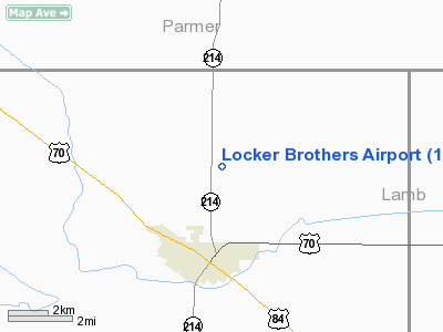
Location & QuickFacts
| FAA Information Effective: | 2008-09-25 |
| Airport Identifier: | 1TE0 |
| Airport Status: | Operational |
| Longitude/Latitude: | 102-43-01.7750W/34-16-10.2780N
-102.717160/34.269522 (Estimated) |
| Elevation: | 3802 ft / 1158.85 m (Estimated) |
| Land: | 280 acres |
| From nearest city: | 3 nautical miles N of Muleshoe, TX |
| Location: | Bailey County, TX |
| Magnetic Variation: | 09E (1985) |
Owner & Manager
| Ownership: | Privately owned |
| Owner: | Fred & Don Locker |
| Address: | Box 526
Muleshoe, TX 79347 |
| Phone number: | 806-272-3066 |
| Manager: | Don & Fred Locker |
| Address: | Box 526
Muleshoe, TX 79347 |
| Phone number: | 806-272-3066 |
Airport Operations and Facilities
| Airport Use: | Private |
| Wind indicator: | Yes |
| Segmented Circle: | No |
| Control Tower: | No |
| Sectional chart: | Albuquerque |
| Region: | ASW - Southwest |
| Boundary ARTCC: | ZFW - Fort Worth |
| Tie-in FSS: | FTW - Fort Worth |
| FSS on Airport: | No |
| FSS Phone: | 817-541-3474 |
| FSS Toll Free: | 1-800-WX-BRIEF |
Airport Services
| Fuel available: | 100LL |
| Airframe Repair: | MAJOR |
| Power Plant Repair: | MAJOR |
Runway Information
Runway 08/26
| Dimension: | 4000 x 20 ft / 1219.2 x 6.1 m |
| Surface: | GRVL, |
| |
Runway 08 |
Runway 26 |
| Traffic Pattern: | Left | Left |
| Obstruction: | 15 ft road, 40.0 ft from runway, 50:1 slope to clear | , 50:1 slope to clear |
|
Radio Navigation Aids
| ID |
Type |
Name |
Ch |
Freq |
Var |
Dist |
| LIU | NDB | Littlefield | | 212.00 | 10E | 26.7 nm |
| PRZ | NDB | Portales | | 407.00 | 09E | 35.0 nm |
| HRX | NDB | Hereford | | 341.00 | 09E | 40.3 nm |
| LLN | NDB | Levelland | | 266.00 | 09E | 46.2 nm |
| CVS | TACAN | Cannon | 053X | | 10E | 30.8 nm |
| PVW | VOR/DME | Plainview | 076X | 112.90 | 11E | 47.4 nm |
| TXO | VORTAC | Texico | 059X | 112.20 | 11E | 14.9 nm |
Images and information placed above are from
http://www.airport-data.com/airport/1TE0/
We thank them for the data!
| General Info
|
| Country |
United States
|
| State |
TEXAS
|
| FAA ID |
1TE0
|
| Latitude |
34-16-10.278N
|
| Longitude |
102-43-01.775W
|
| Elevation |
3802 feet
|
| Near City |
MULESHOE
|
We don't guarantee the information is fresh and accurate. The data may
be wrong or outdated.
For more up-to-date information please refer to other sources.
|
|


