 |
|
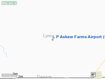
Location & QuickFacts
| FAA Information Effective: | 2008-09-25 |
| Airport Identifier: | 00XS |
| Airport Status: | Operational |
| Longitude/Latitude: | 101-56-01.5790W/33-02-00.3400N
-101.933772/33.033428 (Estimated) |
| Elevation: | 3110 ft / 947.93 m (Estimated) |
| Land: | 0 acres |
| From nearest city: | 10 nautical miles NW of O'donnell, TX |
| Location: | Lynn County, TX |
| Magnetic Variation: | 09E (1985) |
Owner & Manager
| Ownership: | Privately owned |
| Owner: | L P Askew |
| Address: | Rt 2
O'donnell, TX 79351 |
| Phone number: | 806-998-5320 |
| Manager: | L P Askew |
| Address: | Rt 2
O'donnell, TX 79351 |
| Phone number: | 806-998-5320 |
Airport Operations and Facilities
| Airport Use: | Private |
| Wind indicator: | Yes |
| Segmented Circle: | No |
| Control Tower: | No |
| Landing fee charge: | No |
| Sectional chart: | Dallas-ft Worth |
| Region: | ASW - Southwest |
| Boundary ARTCC: | ZFW - Fort Worth |
| Tie-in FSS: | FTW - Fort Worth |
| FSS on Airport: | No |
| FSS Phone: | 817-541-3474 |
| FSS Toll Free: | 1-800-WX-BRIEF |
Runway Information
Runway 17/35
| Dimension: | 1475 x 75 ft / 449.6 x 22.9 m |
| Surface: | TURF, Fair Condition |
| |
Runway 17 |
Runway 35 |
| Traffic Pattern: | Left | Left |
| Obstruction: | 10 ft road, 37 ft right of centerline | 10 ft road, 0.0 ft from runway, 37 ft left of centerline |
|
Radio Navigation Aids
| ID |
Type |
Name |
Ch |
Freq |
Var |
Dist |
| BFE | NDB | Brownfield | | 311.00 | 09E | 15.6 nm |
| LSA | NDB | Lamesa | | 338.00 | 09E | 16.6 nm |
| LLN | NDB | Levelland | | 266.00 | 09E | 38.4 nm |
| GNC | NDB | Gaines County | | 344.00 | 09E | 42.0 nm |
| CZX | NDB | Crosbyton | | 332.00 | 09E | 49.8 nm |
| LBB | VORTAC | Lubbock | 029X | 109.20 | 11E | 40.4 nm |
| BGS | VORTAC | Big Spring | 090X | 114.30 | 11E | 45.1 nm |
Remarks
- CAUTION: CATTLE ON & INVOF ARPT.
Images and information placed above are from
http://www.airport-data.com/airport/00XS/
We thank them for the data!
| General Info
|
| Country |
United States
|
| State |
TEXAS
|
| FAA ID |
00XS
|
| Latitude |
33-02-00.340N
|
| Longitude |
101-56-01.579W
|
| Elevation |
3110 feet
|
| Near City |
O'DONNELL
|
We don't guarantee the information is fresh and accurate. The data may
be wrong or outdated.
For more up-to-date information please refer to other sources.
|
|


